Iceland (Summer)
Iceland: the Land of Fire and Ice. Even more so since the volcanic eruptions in 2021 and 2022, but even before that Iceland was known for their volcanos as well as the harsh coldness in Winter with snow storms you don’t want to be anywhere close to.
I would love to think that we visited Iceland when it wasn’t that much of a hype as it is today, but to be honest: I don’t know.
What I do know is that we were unsure about whether we could travel as we were used to, with booking hotels on the go instead of pre-booking the whole trip, because we didn’t know how busy it would be, how it would affect the already expensive prices and how good the internet access (not that good) would be.
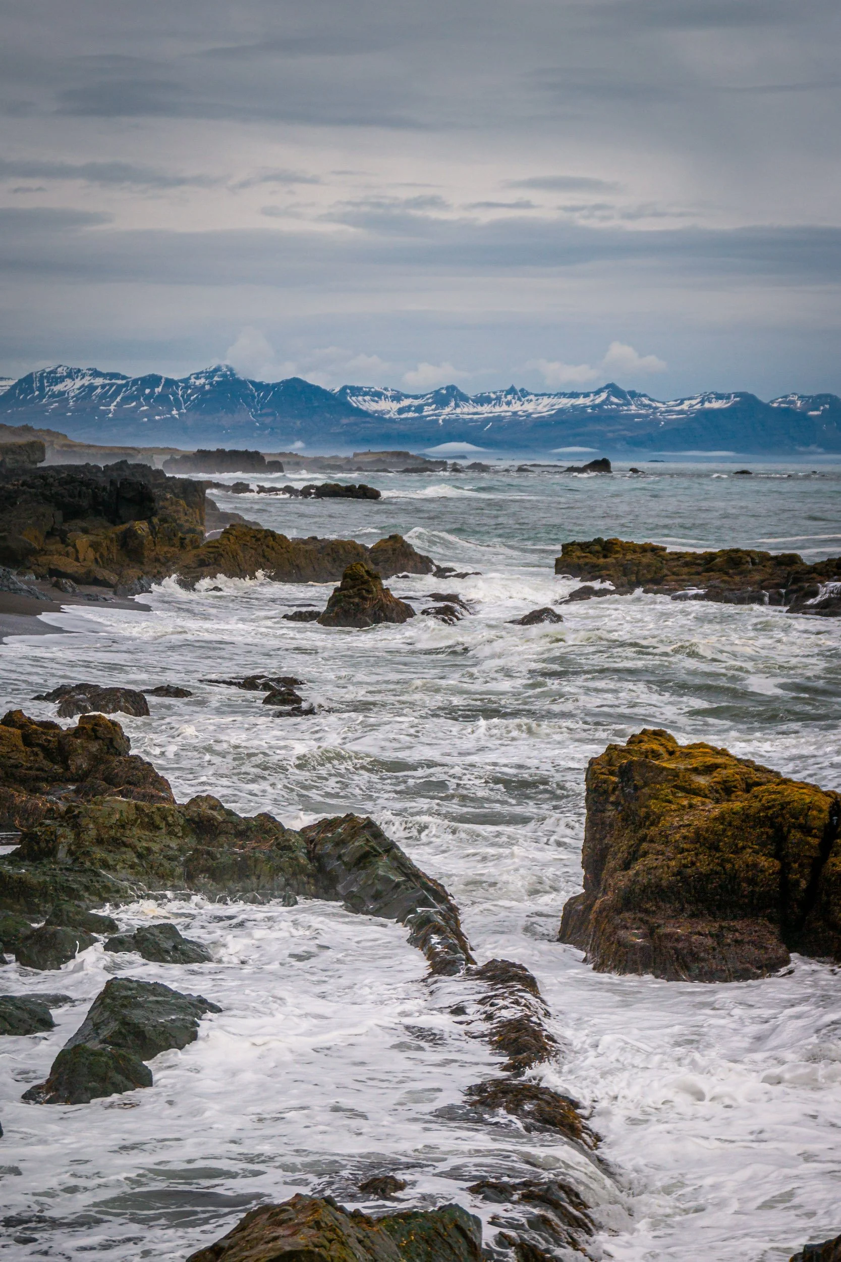
That’s why we decided to book all of the 10 nights in advance and we didn’t regret it really as we were going along the ring road anyway, with one exception: the Westfords. Initially, we wanted to go into the highlands and booked a 4x4 car for that, but roads were still closed so instead we visited the beautiful Westfjords.
Details
Visit: June 11th - 21st 2015
Season: Summer
Start / End: Keflavik
Transport: Rental Car
Top 5 places / experiences
-

Westflords
-

Diamond Beach / Glacial Lagoon
-
Waterfalls
-
Whale Watching
-
Fjadrárgljúfur Canyon
West: Reykjavík to Hólmavík including Westfjords
We flew into Keflavik pretty late, so we booked a hotel close to the airport and directly drove there after picking up our rental car at the airport. We arrived at 1 or 2 in the morning and were immediately stunned that it was still bright outside, not knowing whether it was before sunset or after sunrise or something in-between. To our surprise, we couldn’t really darken the room even though it was that bright.
On our first day, we drove up to Borganes, but first we visited some of the popular sights close to Reykjavik including the Golden Circle.
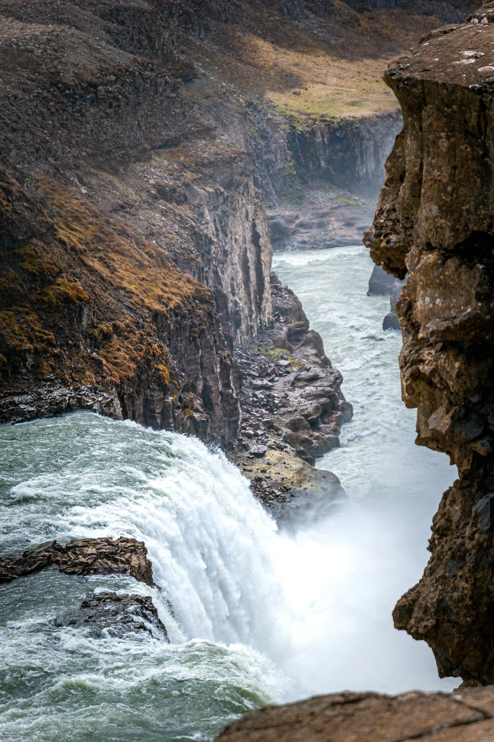
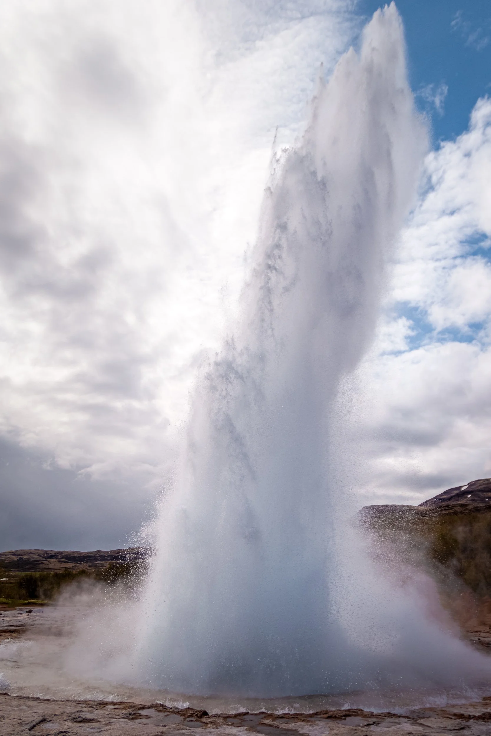
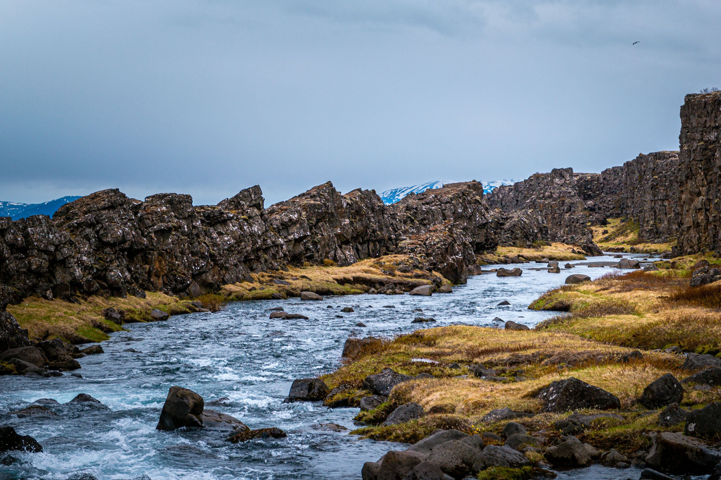
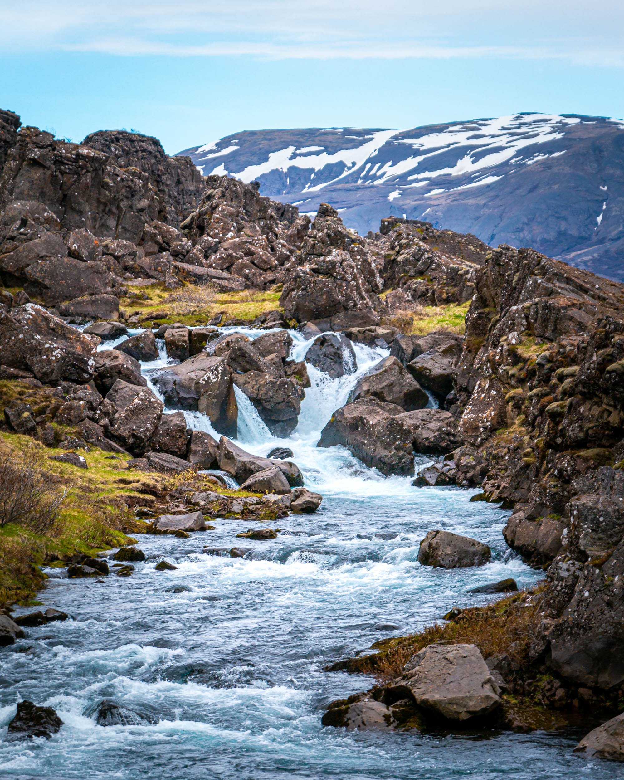
We started with Gulfoss, a powerful 229m wide and 32m high waterfall with multiple levels, and continued to the geysers Geysir (or Great Geysir), which could erupt up to 50-70m high but it hasn’t erupted for years, and Strokkur, which on the other hand erupts every few minutes up to 20 meters high. We walked around a bit and hiked up the mountain close by to get a view over the surrounding landscape. We finished the Golden Circle with Thingvellir National Park, where we hiked to waterfall Öxarárfoss, which isn’t as big or powerful, but is surrounded by a beautiful landscape.
We made some stops along the way as there is always something to see and photograph in Iceland, and then continued to our hotel in Borganes.
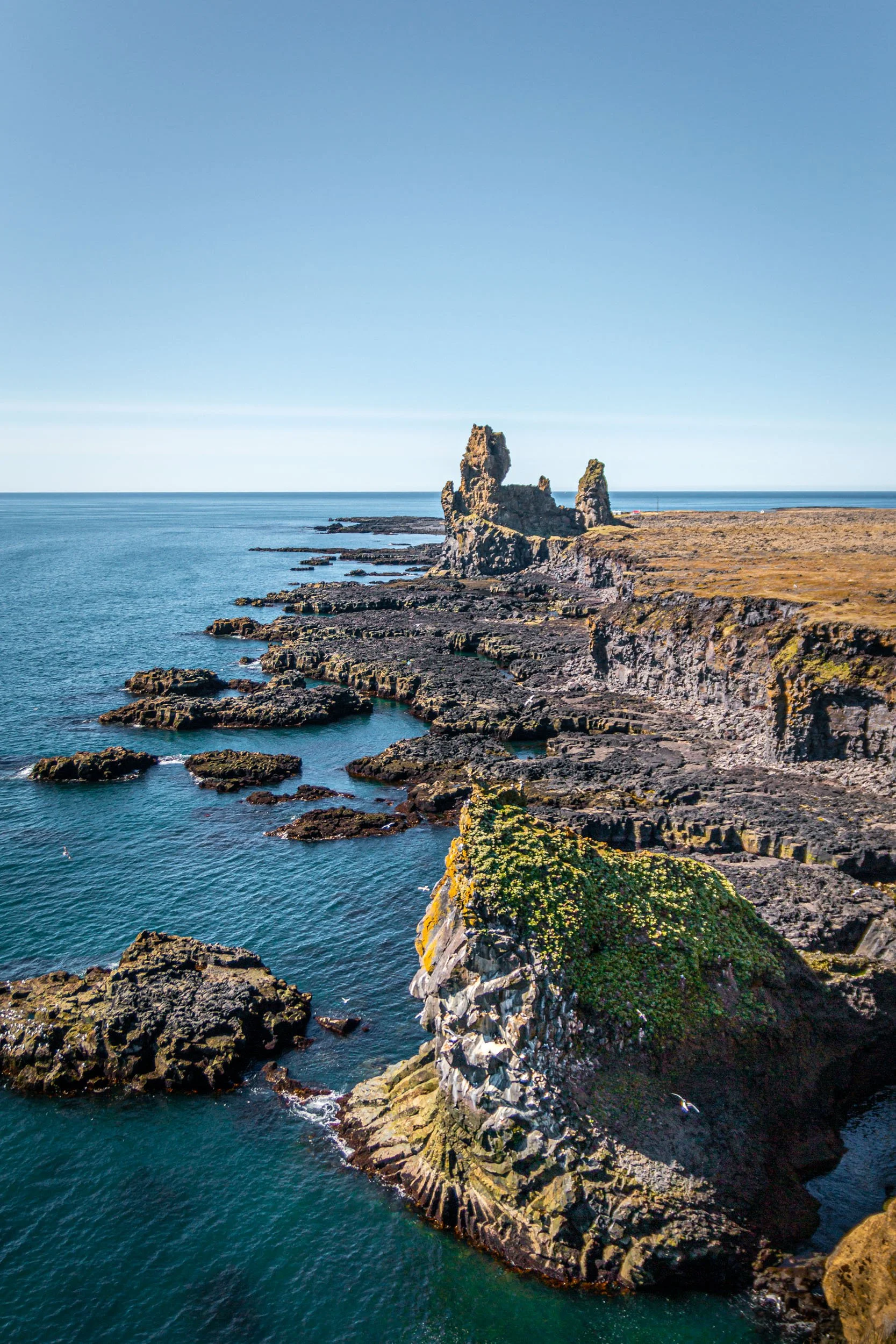
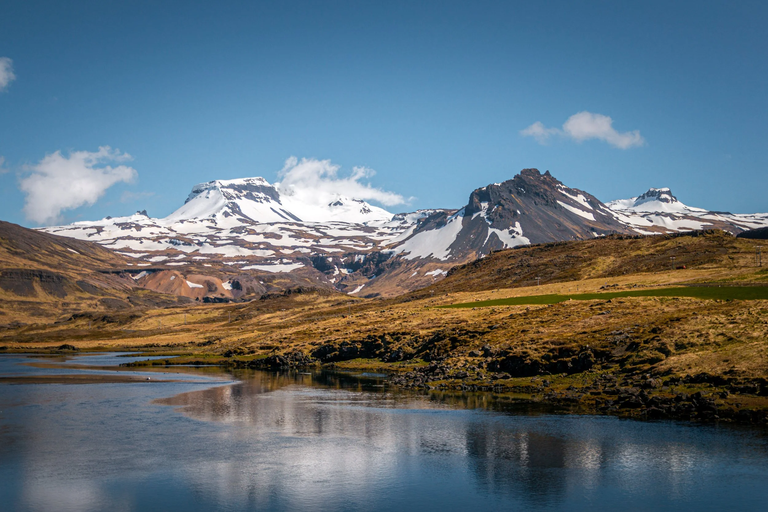
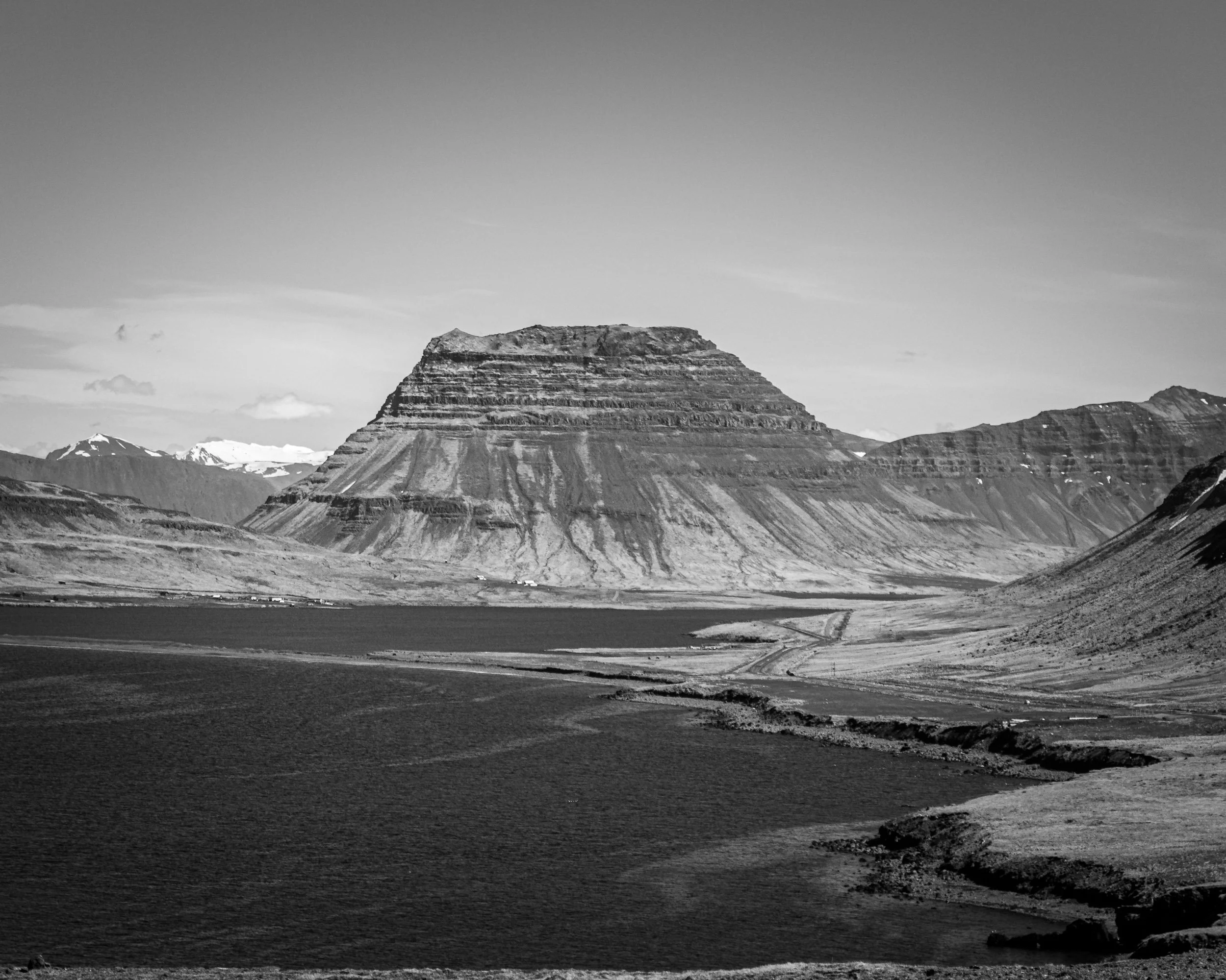
The next day we drove the scenic Rte 47 around Hvalfjörður on our way to the Snæfellsjökull peninsula and the National Park on the west side of the peninsula, which is home to the glacial volcano Snæfellsjökull. You can also see puffins here, but we did not see any, and to be honest I did not know anything about puffins at the time, unfortunately, and that I would love to see them one time. We also drove to the nowadays very famous Kirkjufell mountain that even had an appearance in Game of Thrones. Back in 2015, I think it wasn’t that popular, and parking was differently organised than these days as well. We walked to the waterfall, took some photos, and continued our drive to our hotel in Berufjarðarvatn, close to the westfjords. The views were already amazing along the way, so we were looking forward to the next day.
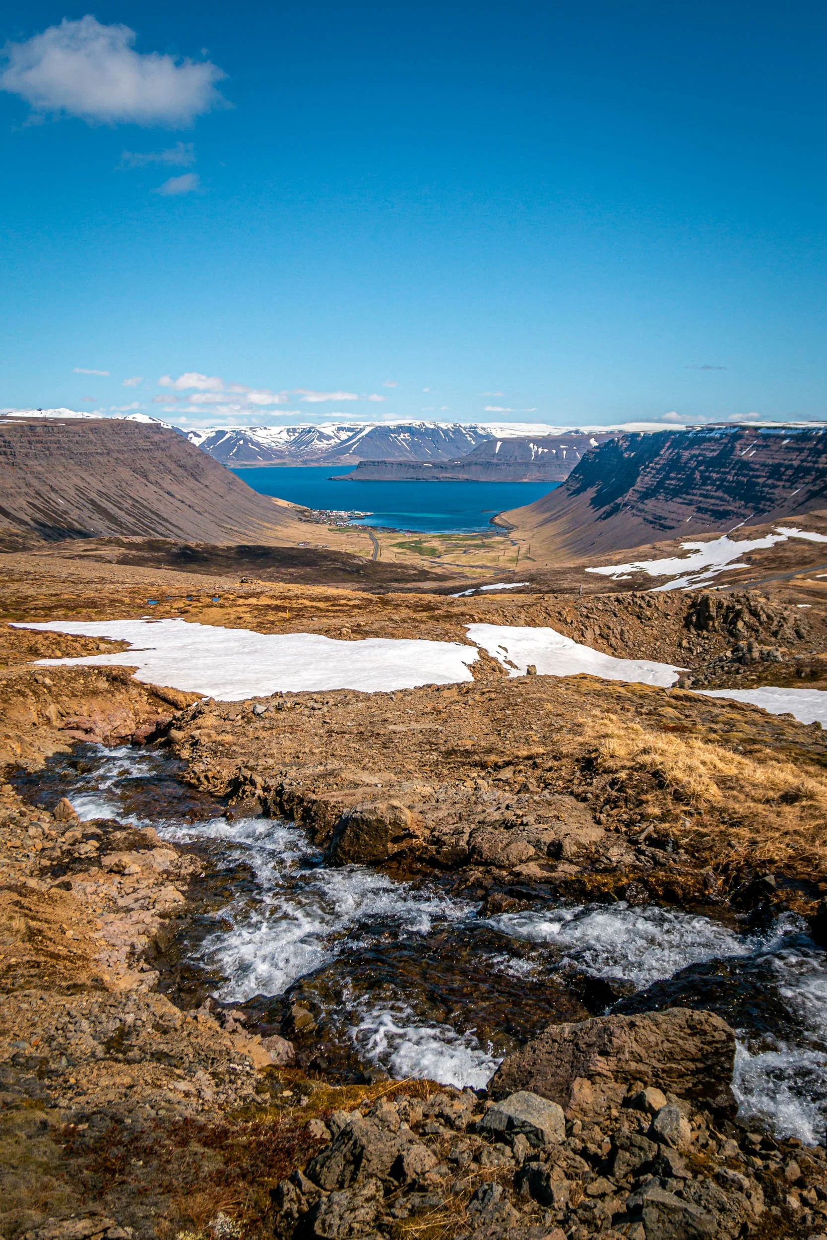
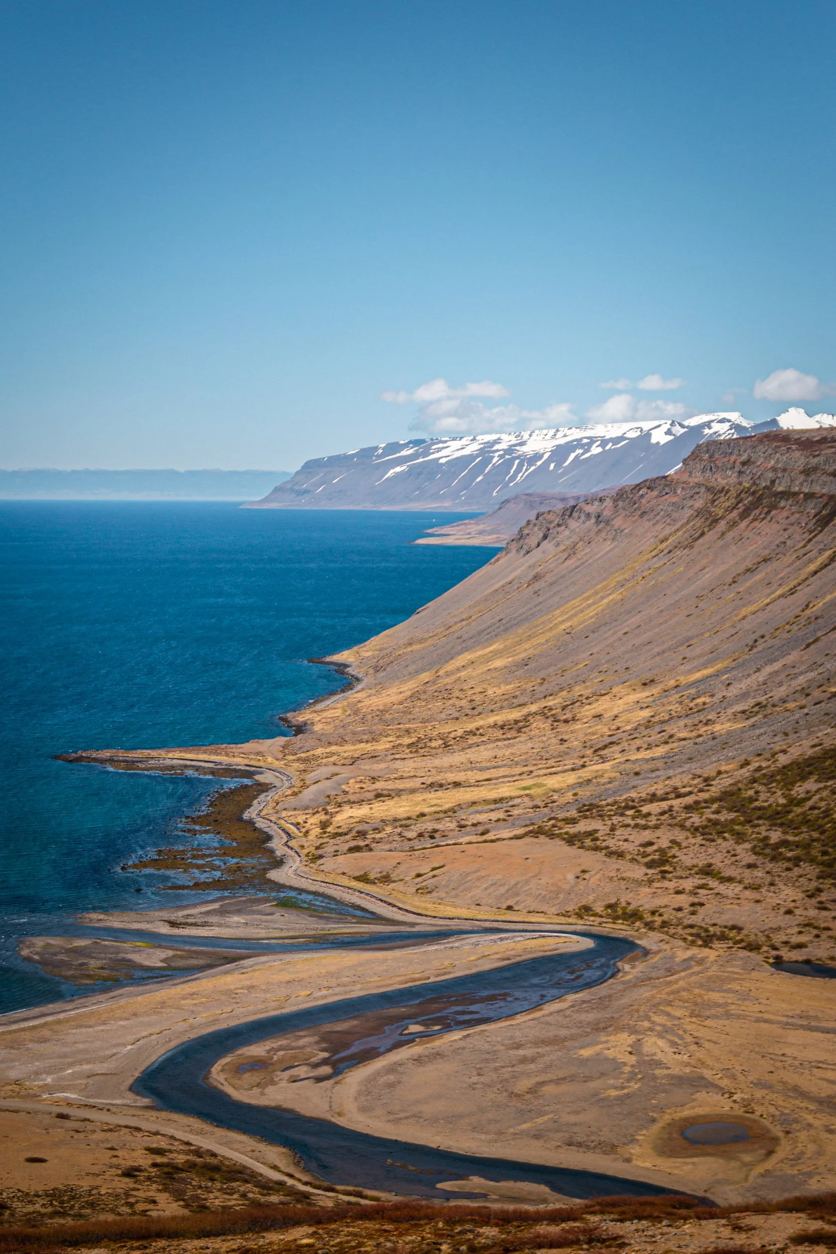
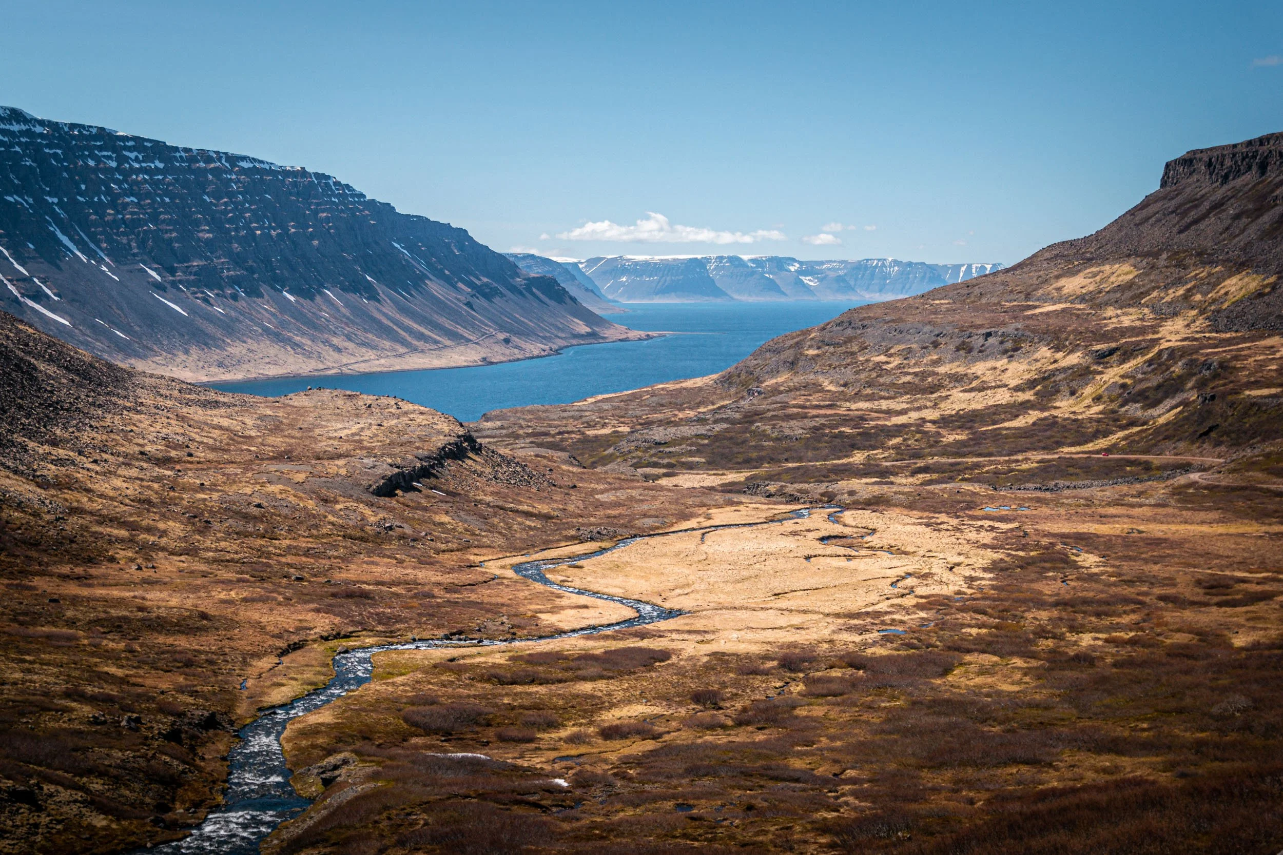
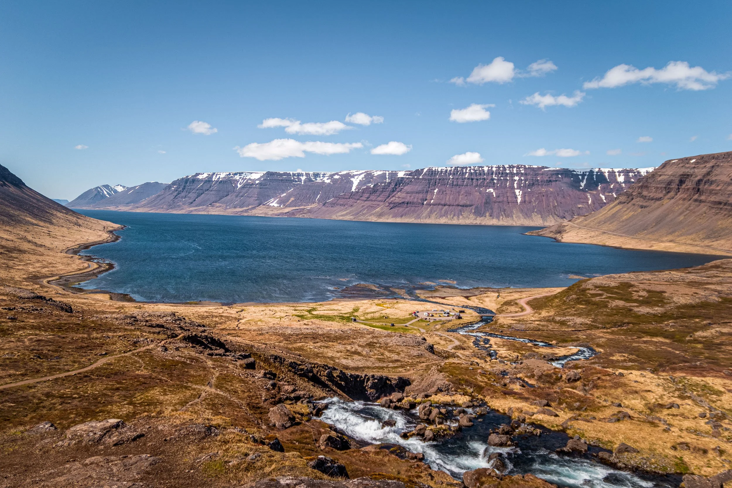
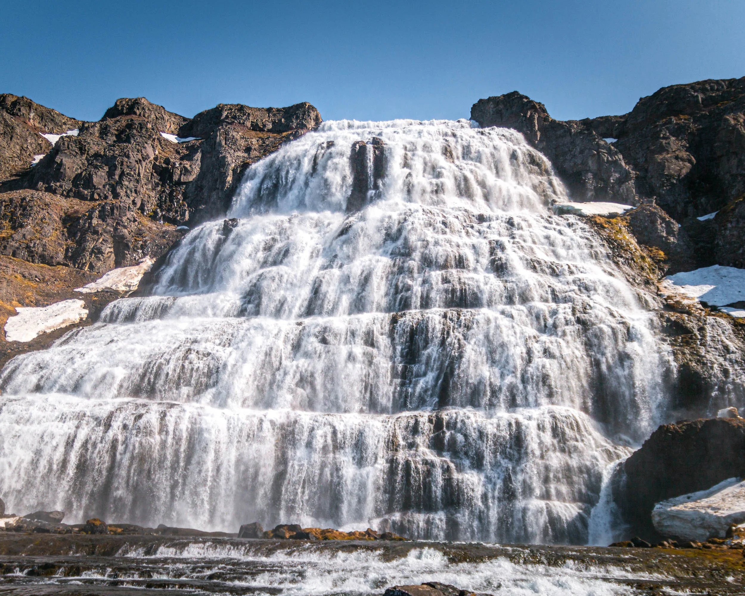
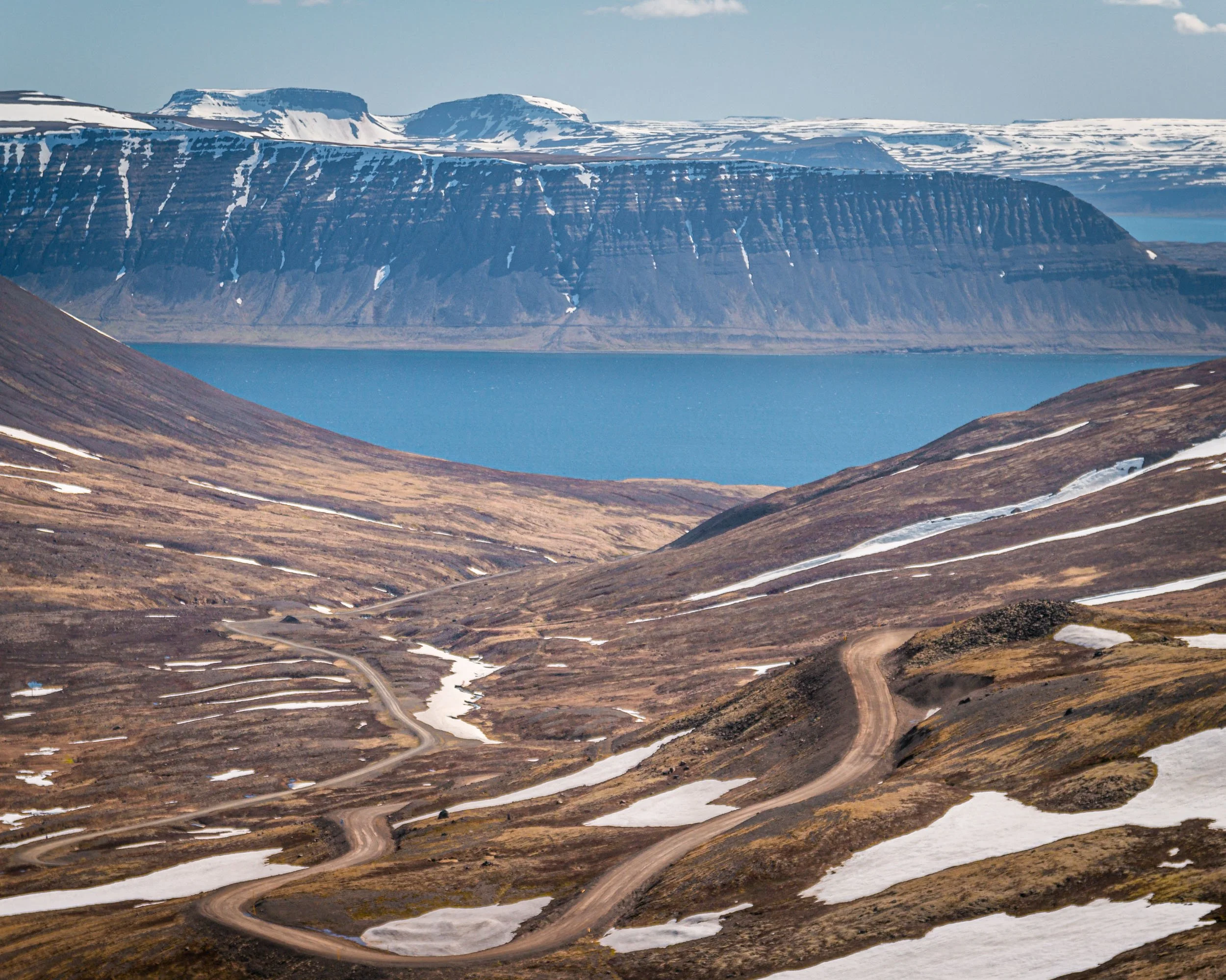
The westfjords were simply amazing and beautiful, and we didn’t even see it all as we only had a day. We followed Route 60 until we reached the crossing to Route 63 leading towards Bíldudalur, which we drove for a bit, but then decided to head back to Route 60 and continue that road for a while. We stopped at the breathtaking waterfall Dynjandi, which is the highest one in the westfjords with 100m, and it gets brighter and brighter with every step and meter it goes down. We hiked up a bit to not only see the waterfall but also the stunning views in the other direction. We continued to Ísafjörður and the view driving towards that town were amazing, but that applies for the full day driving through the westfjords I guess. From there, we took Route 61 towards our hotel in Hólmavík.
East bound: Hólmavík to Breiðdalsvík
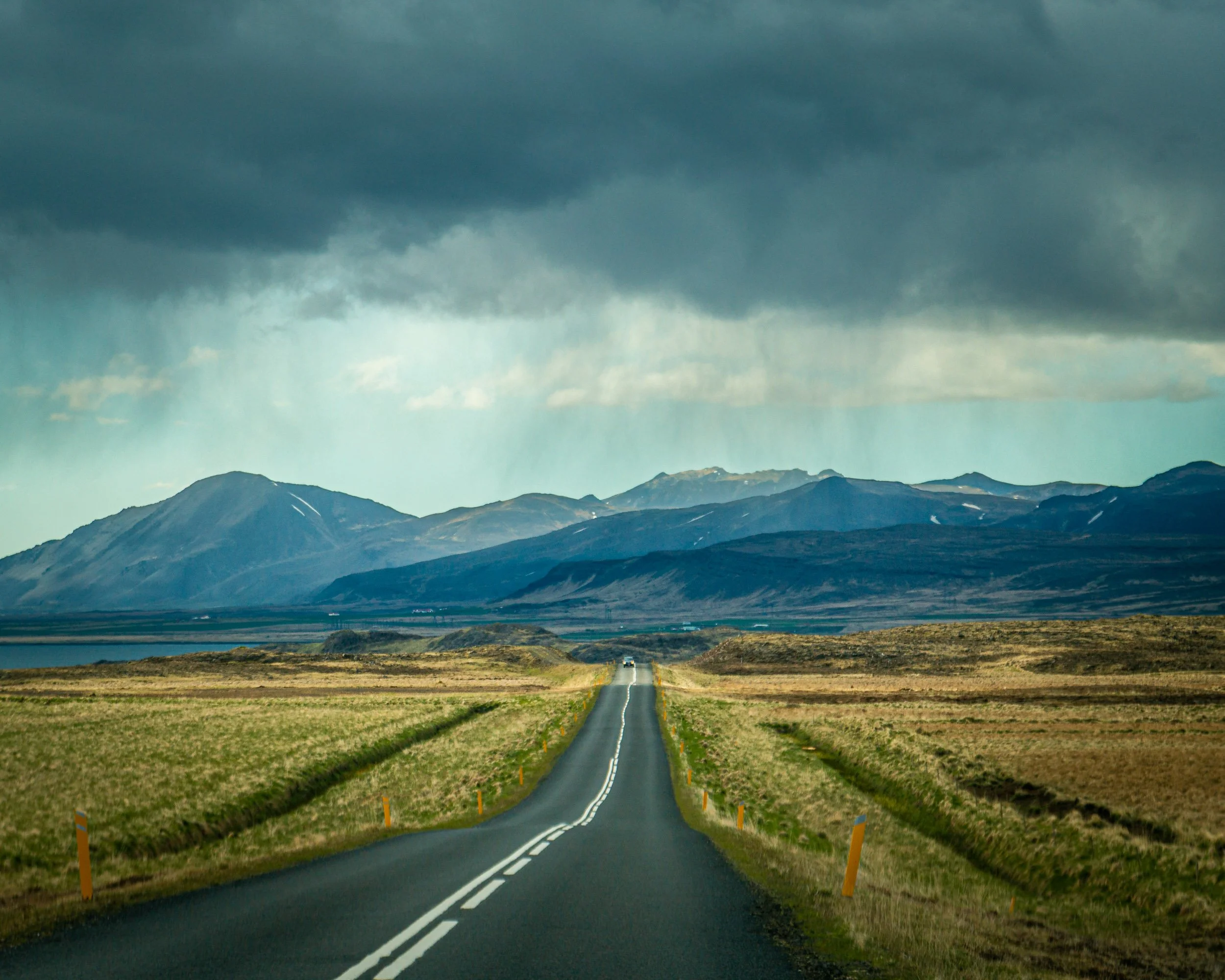
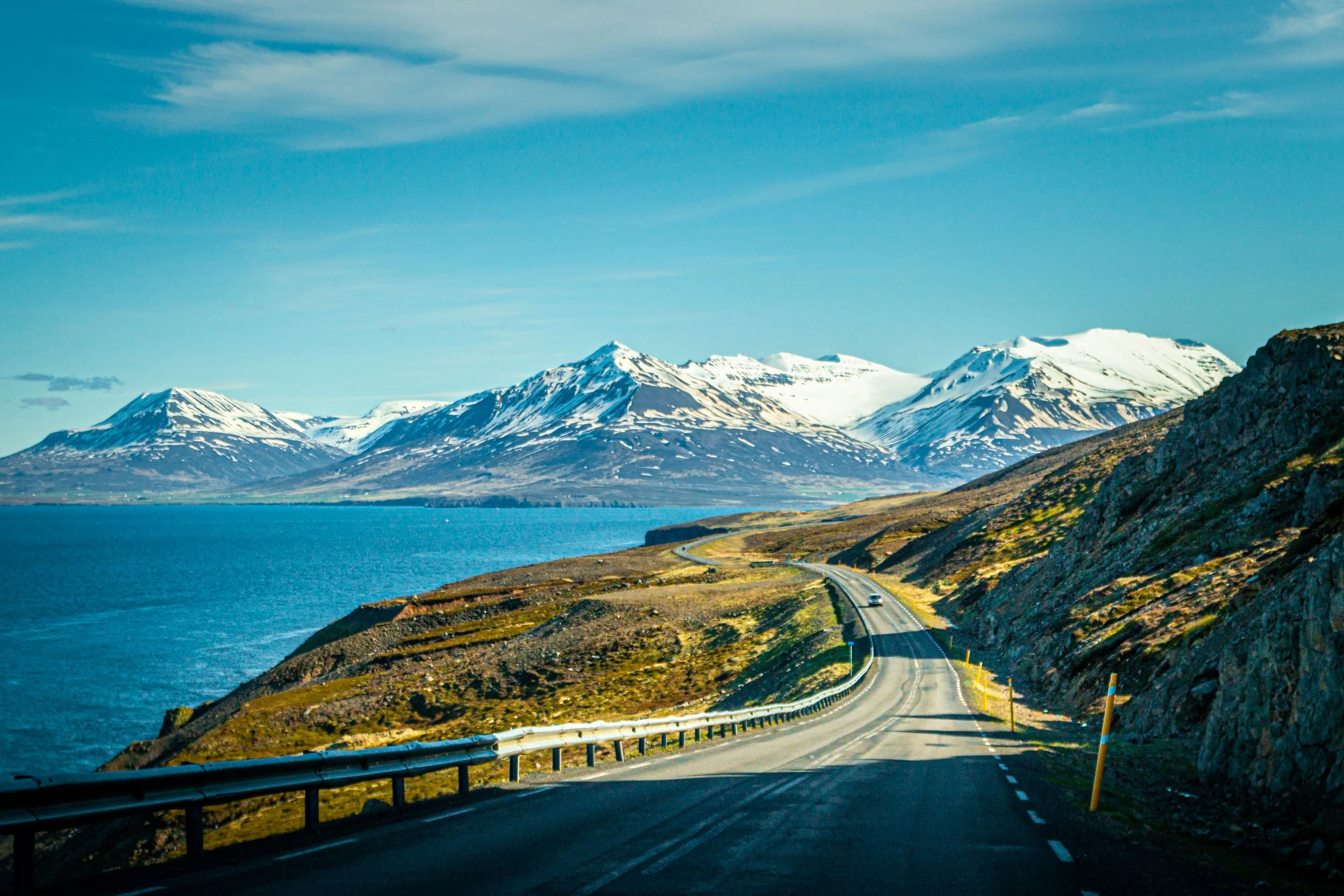
Our next destination was the town of Akureyri, but we did not just take the ring road there, instead we took some detours along the coast. Our first stop was Kolugljúfur Canyon. Then we continued on the ring road for a bit, until we reached the road that would lead us to Sauðárkrókur and further to road 76 and 82 to drive along the coast of Tröllaskagi Peninsula until we reached the ring road again. We did not visit any specific sights, it was more the scenic drive that was the sight itself, so we stopped from time to time to take photos.
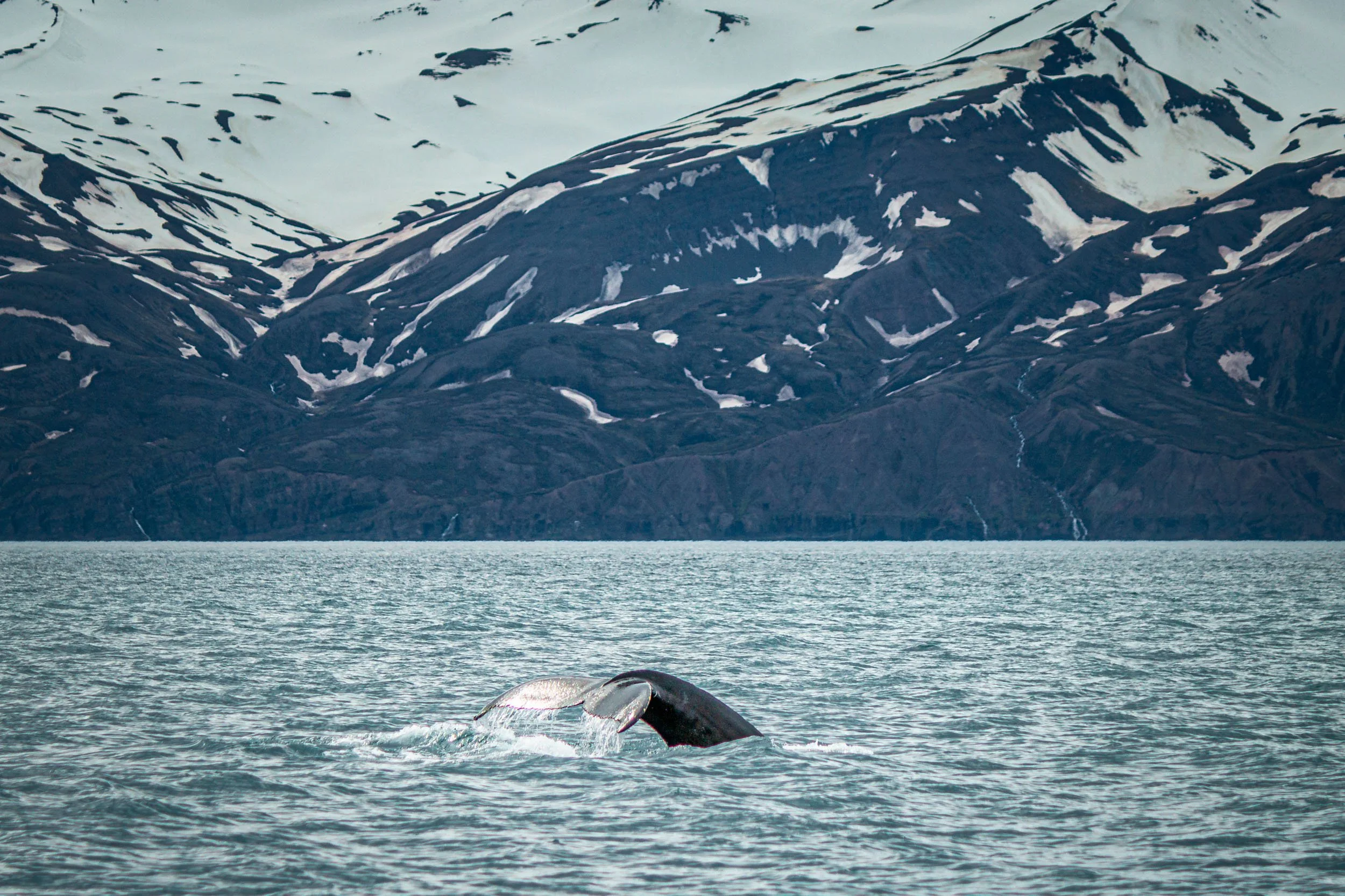
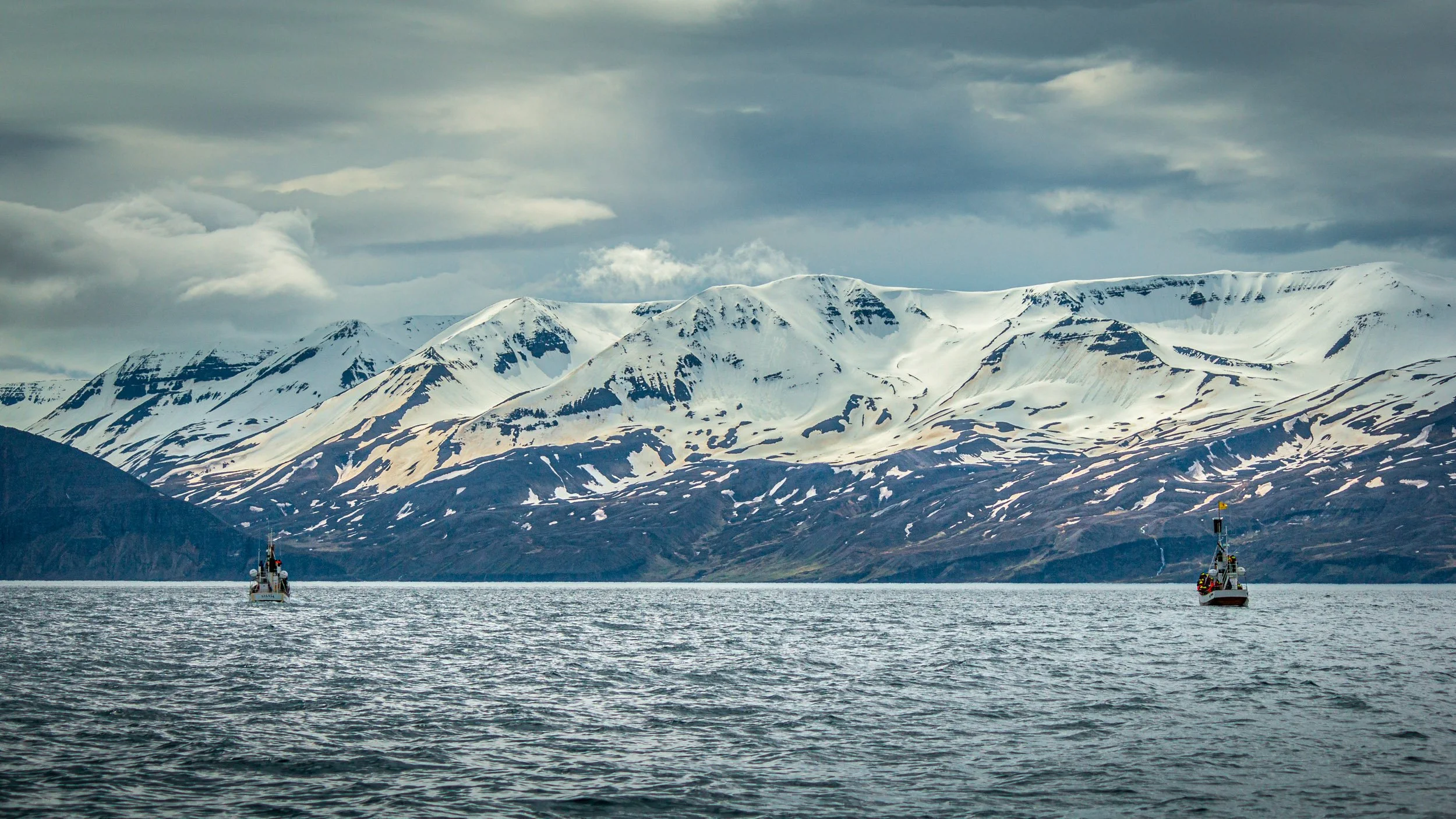
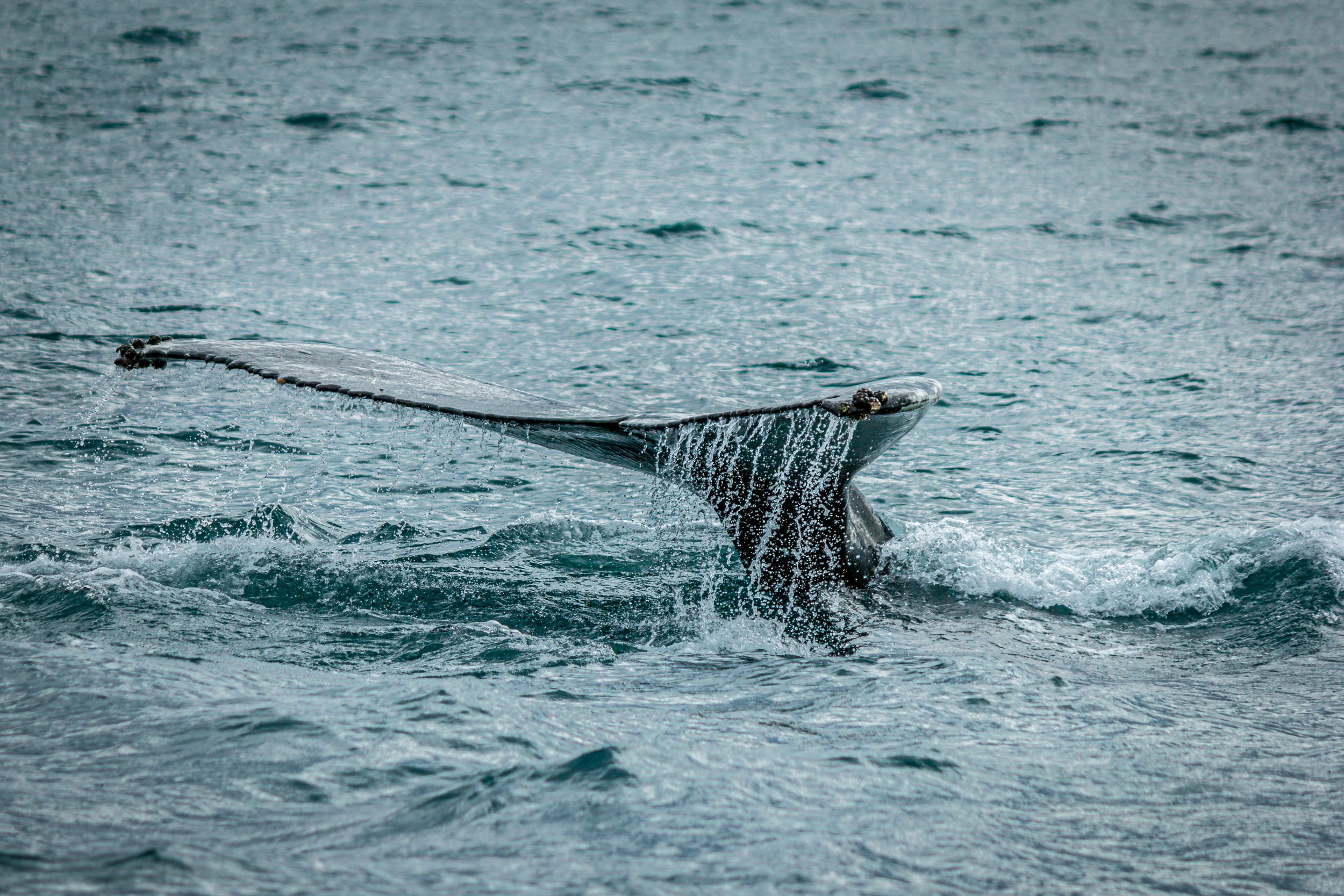
In the morning, we visited another waterfall which is called Goðafoss, before we drove to Husavik for a whale watching tour to see humpback whales.
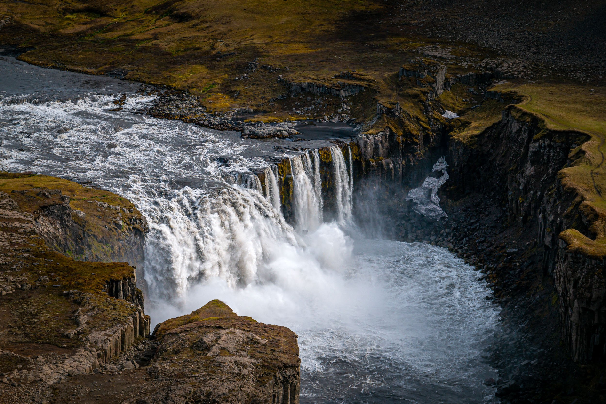
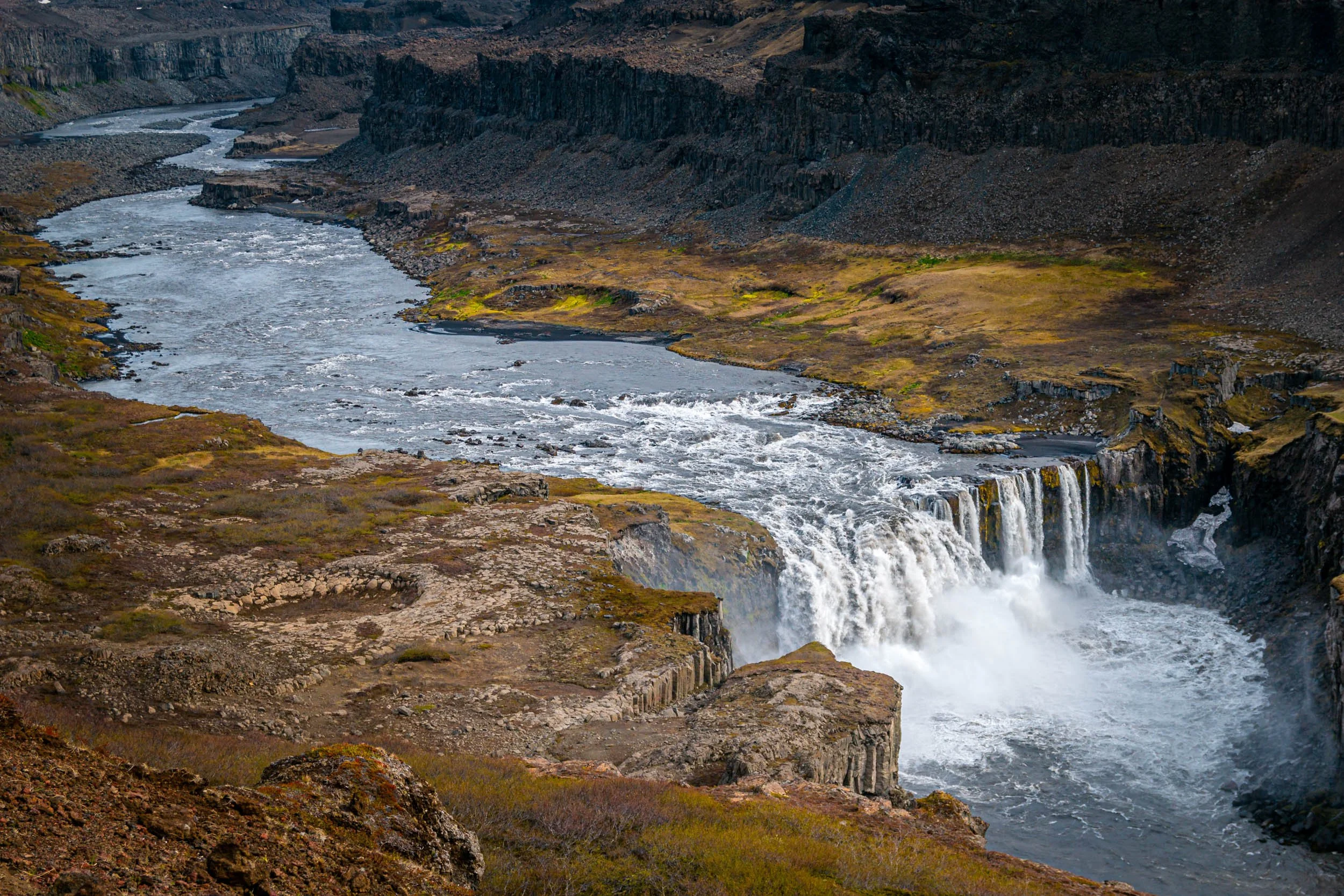
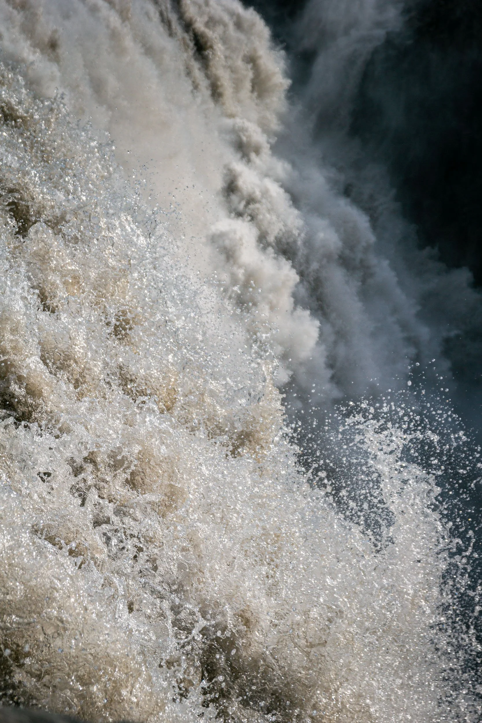
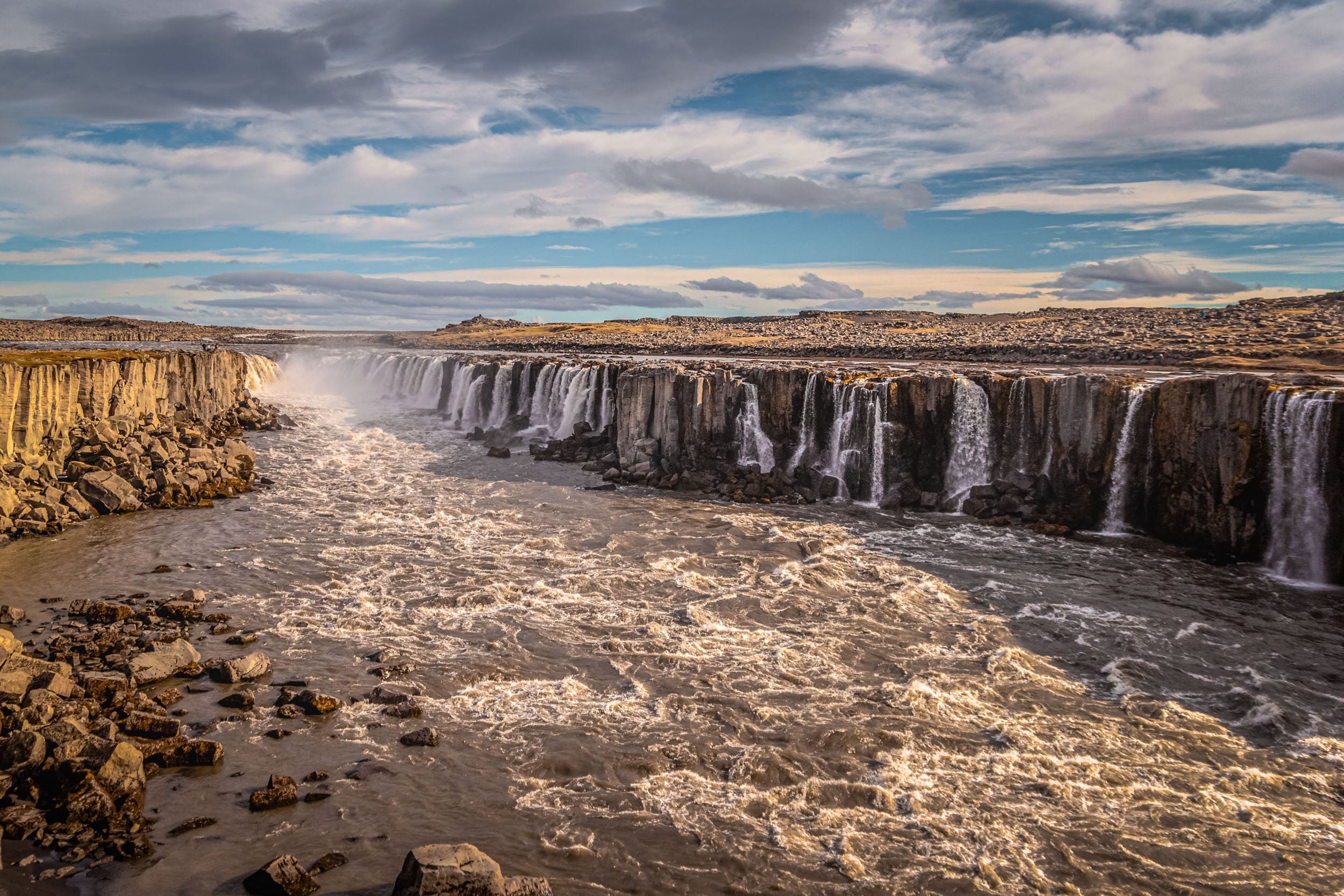
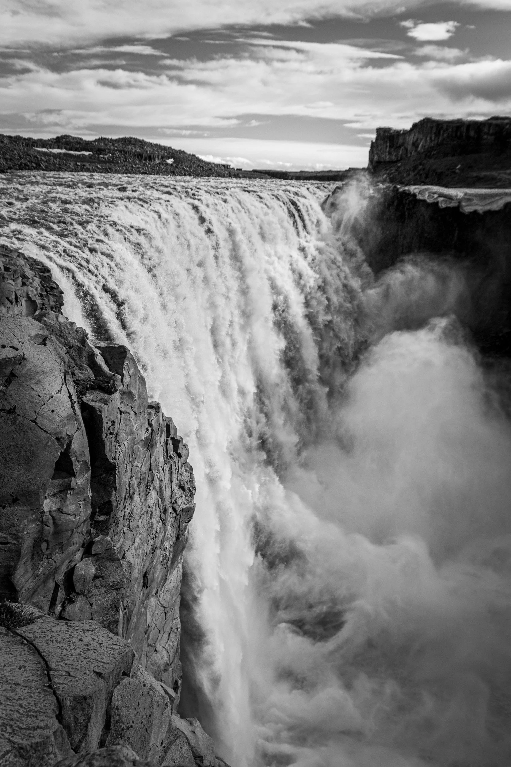
After that, we made a quick stop at Ásbyrgi canyon, and continued to visit a couple of waterfalls on the east side of the river (road 864) Jökulsá á Fjöllum, e.g. the 27m high Hafragilsfoss, the 44m high and 100m wide very powerful Dettifoss, and the close by 10m high Selfoss which is not very high but consists of so many little waterfalls and is so beautiful that it became one of my favourites in Iceland.
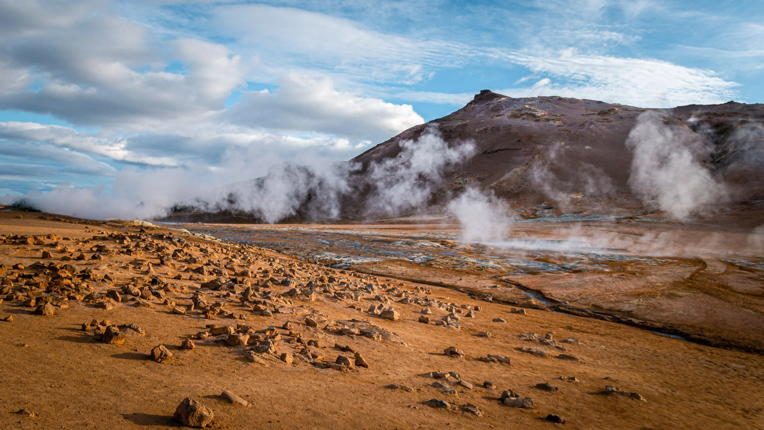
Then we drove back to Myvatn along the ring road to visit the geothermal area of Hverarönd / Hverir. It smells a lot, obviously, but the whole area is really beautiful and worth a visit.
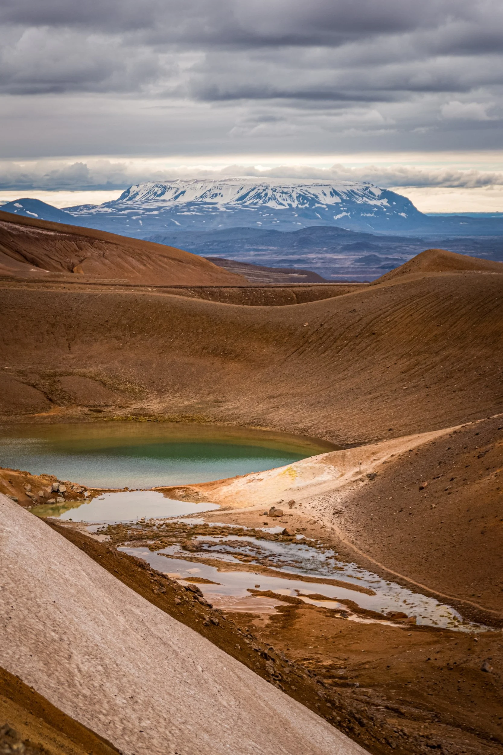
The next morning, we visited the active volcanic region Krafla including the Leirhnjukur crater and viti crater, which we originally had planned to visit the day before but did not have enough time for.
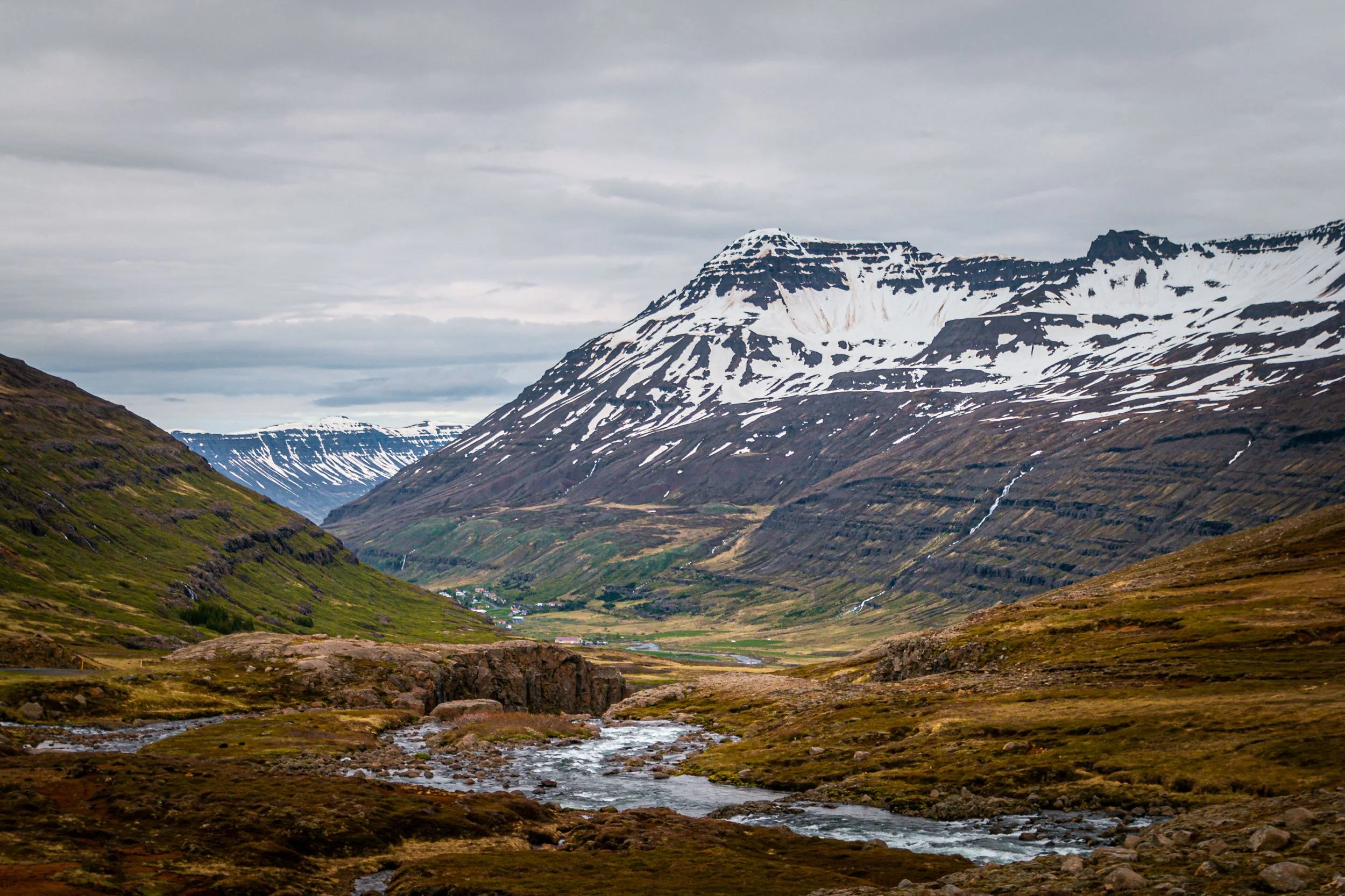
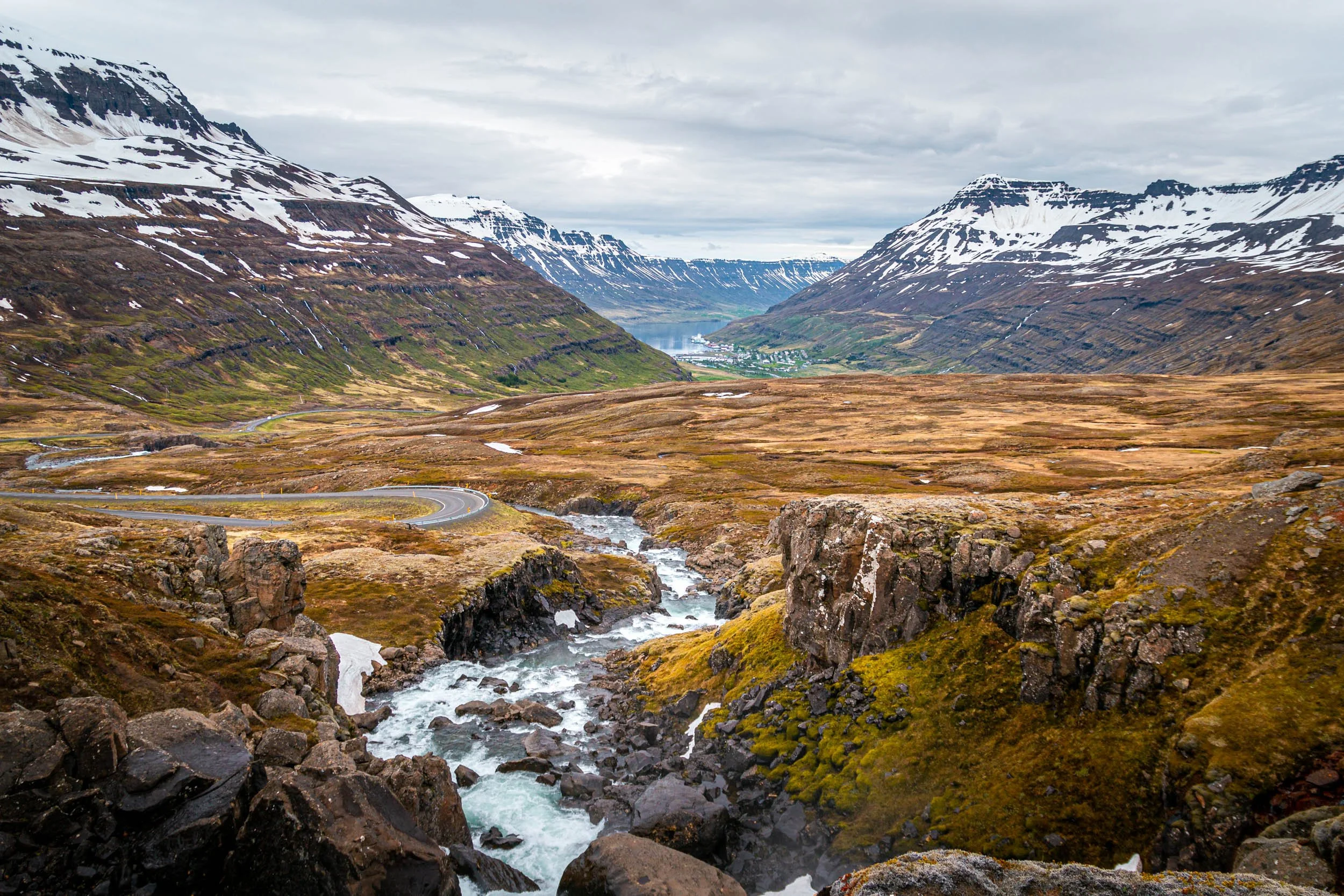
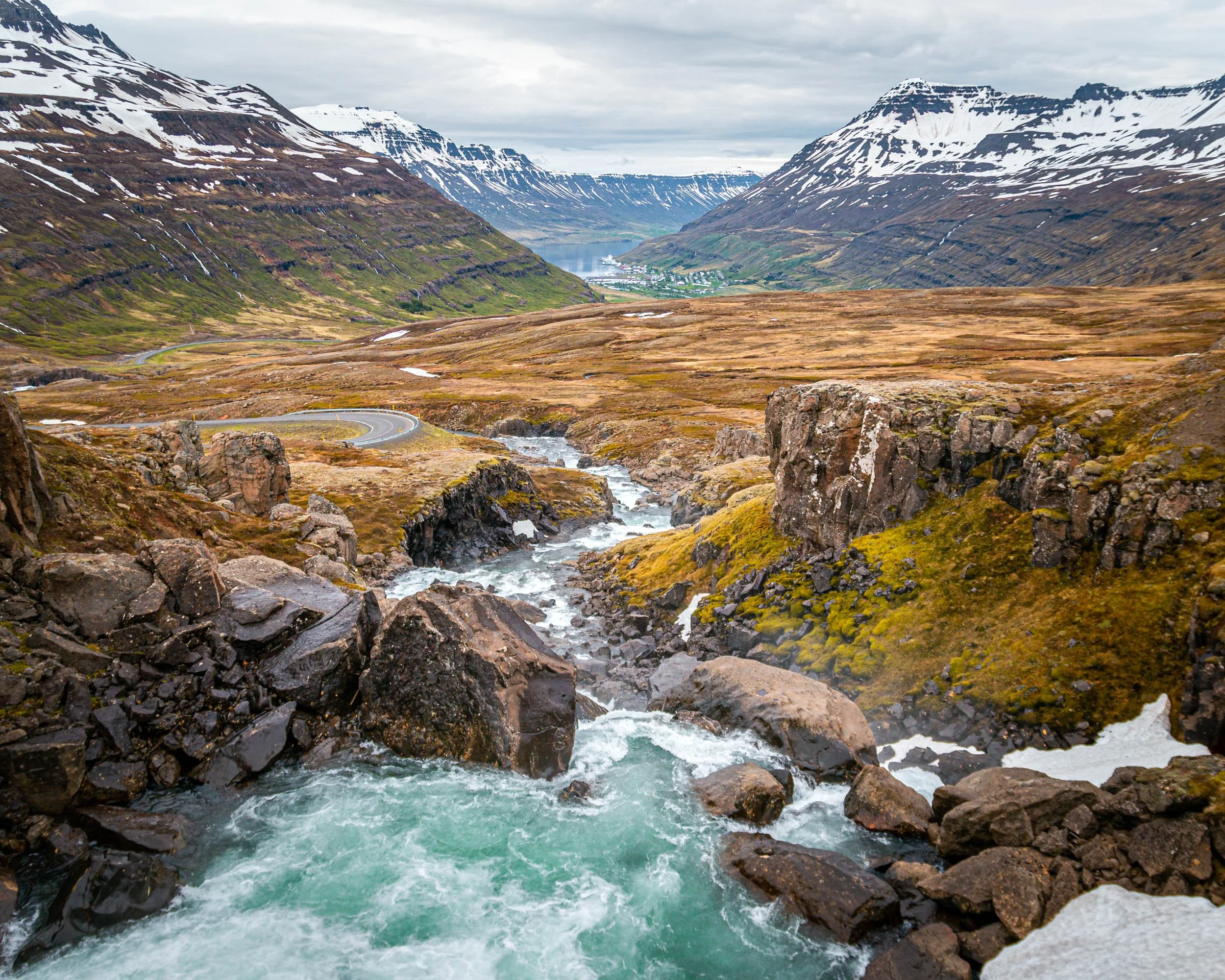
After that, we visited Hengifoss, which is the fourth highest waterfall in Iceland (118m) and Litlanesfoss (45m), and then drove towards our destination for the night which was Breiðdalsvík, but we did not take the fastest way via the ring road but drove along the eastern fjords to visit places like Seyðisfjörður, Eskifjörður, Reyðarfjörður and Fáskrúðsfjörður, which offered great views of the surrounding fjords. My favourite was the view of Fjarðará River and Seyðisfjörður fjord.
Back to Reykjavík via South Ring Road
We had reached the most eastern point of our trip, and from here on we went back west towards Reykjavik with two further stops in between. The first stop was close to Kirkjubæjarklaustur, so we had a couple of hundred kilometres to drive. Again, this day was less about specific sights but more about the scenic drive itself, as the views along the coast were spectacular, and the further we came, it got even better.
In hindsight, I have no idea why we passed Stokksnes
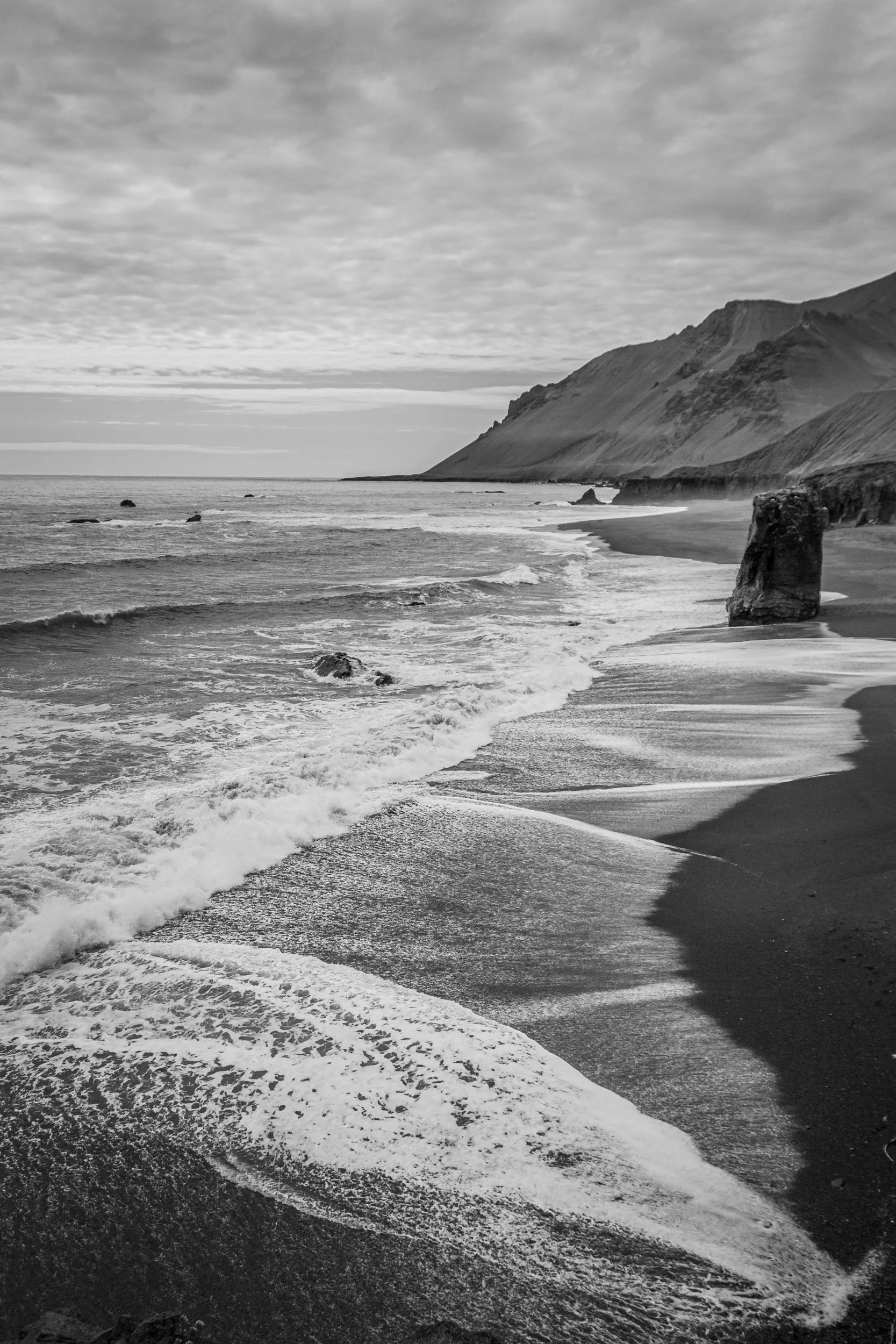
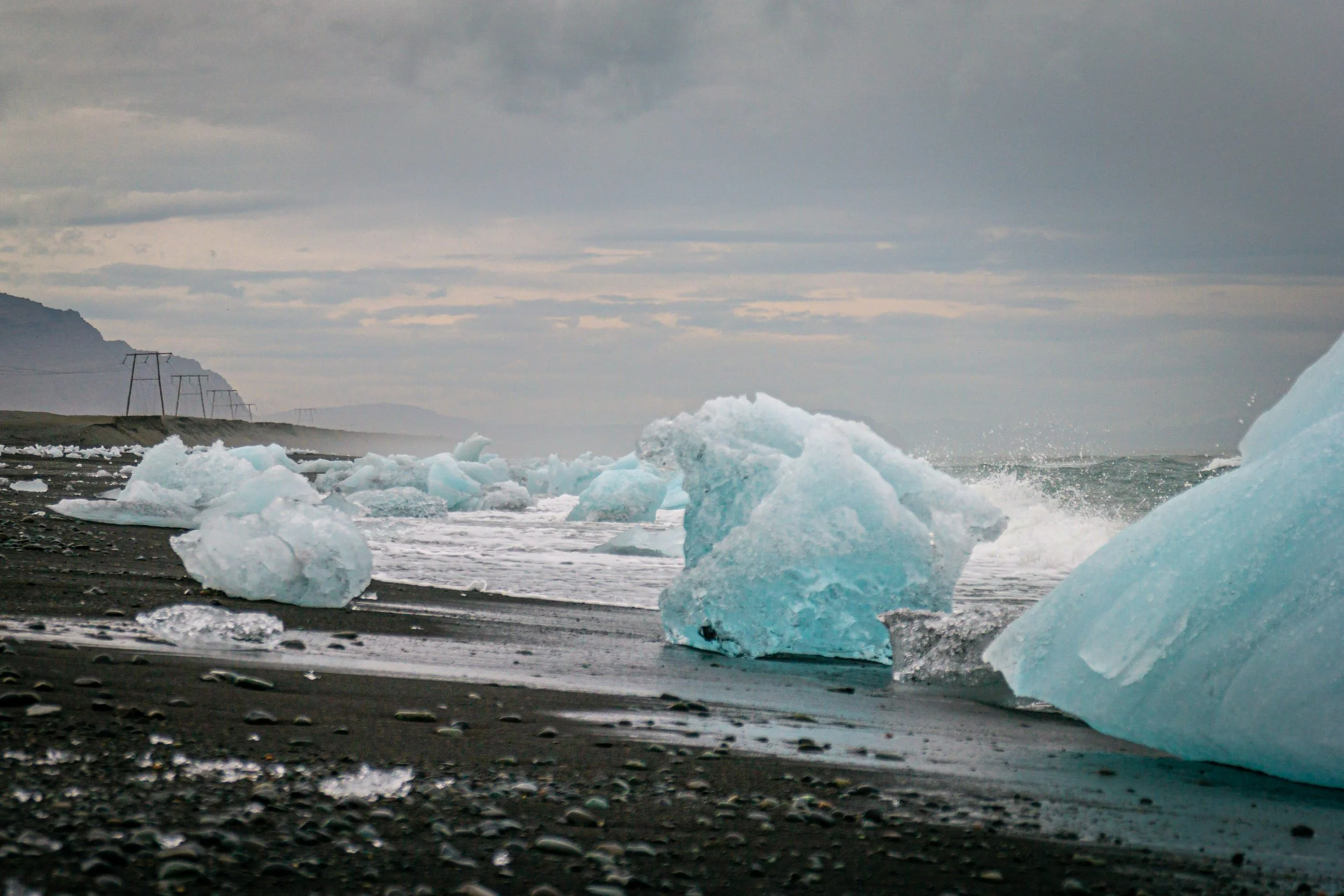
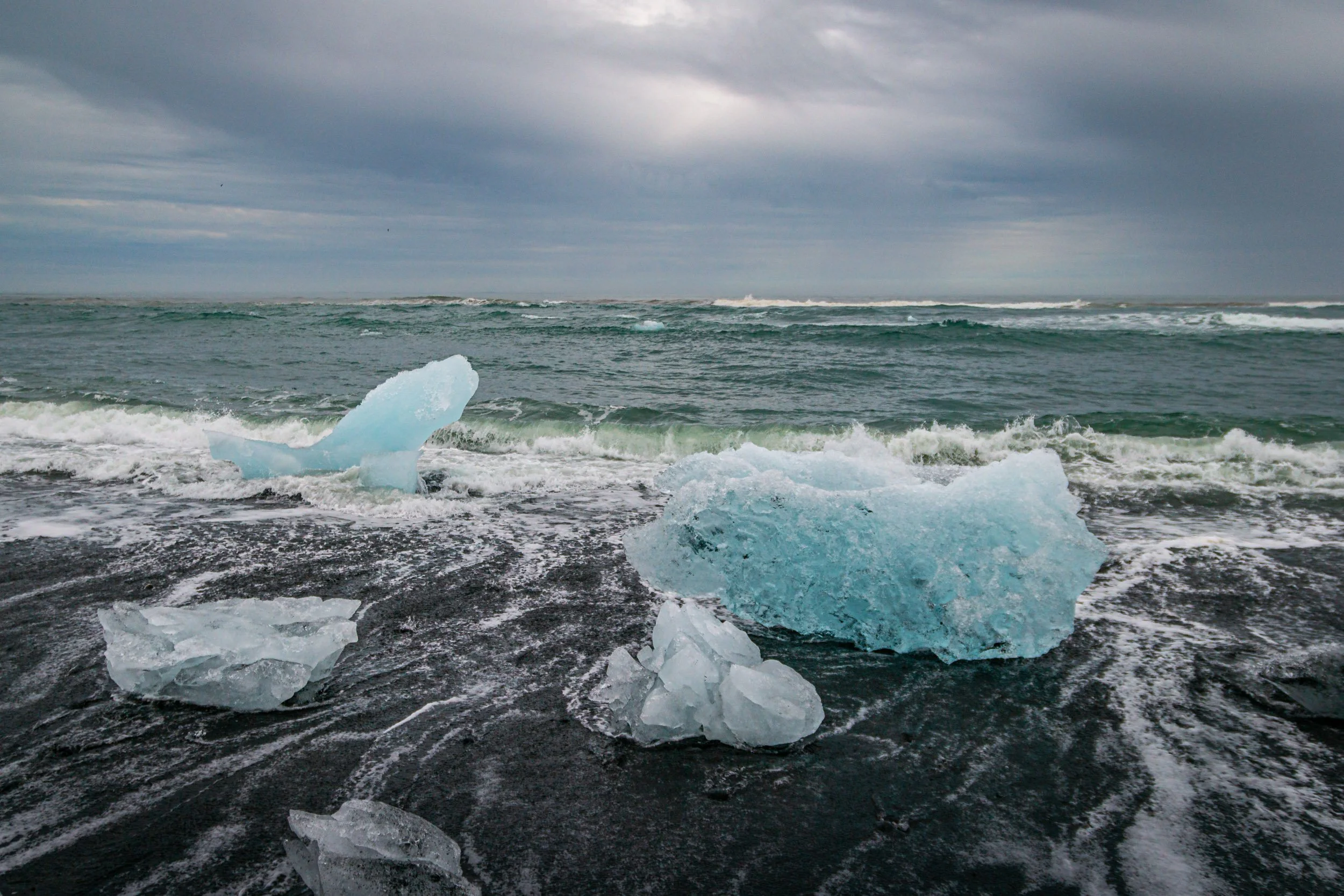
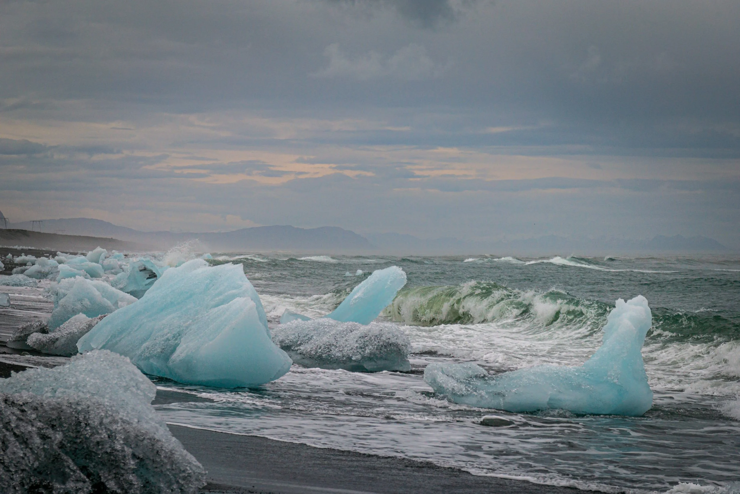
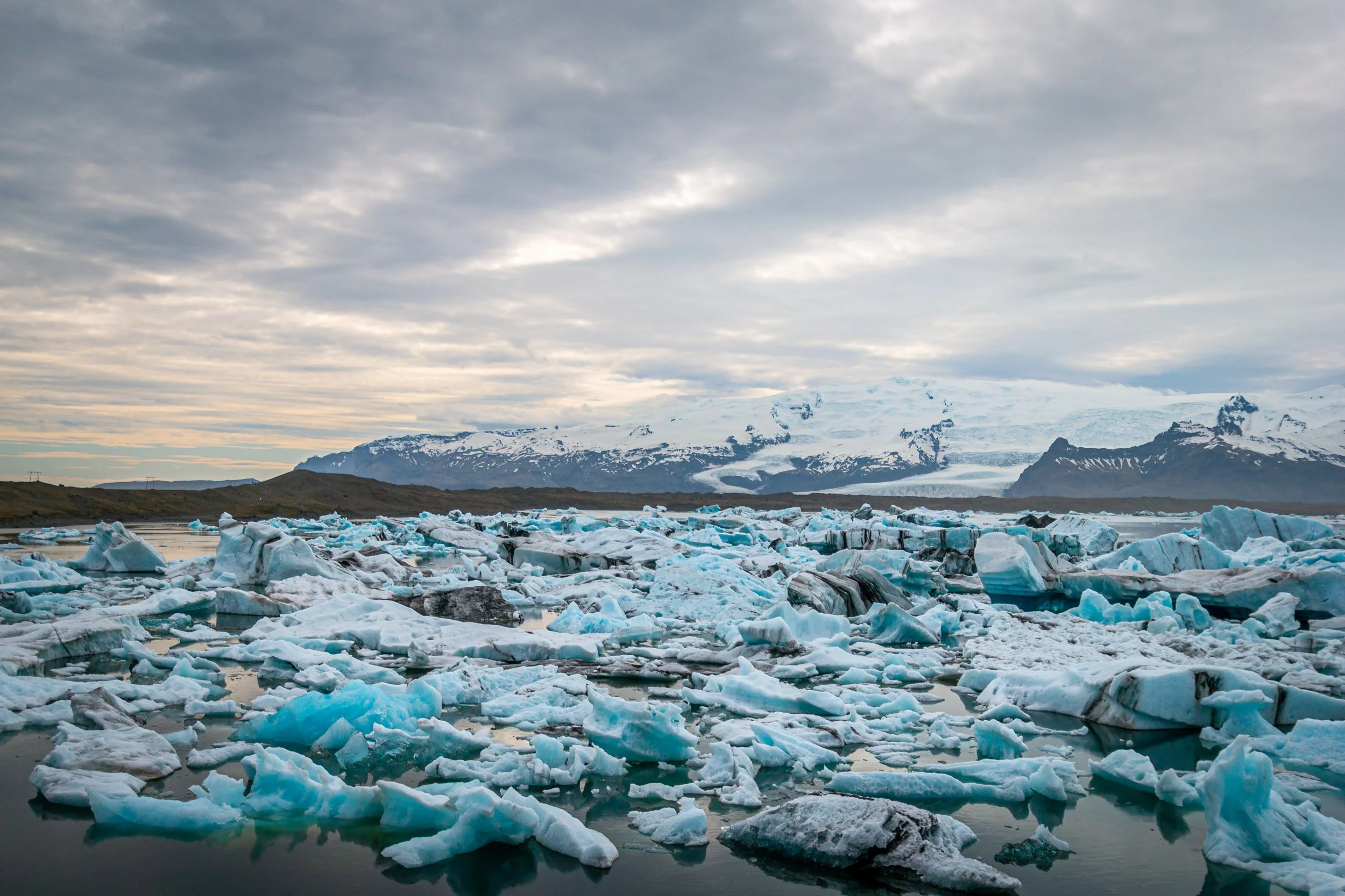
and did not stop there at all, but unfortunately that’s what we did. Instead, our first real stop was Jökulsárlón, where we walked around the glacial lagoon and went to diamond beach to see those famous icebergs on the black sand beach. For good reason, it’s one of the most visited places in Iceland, year round.
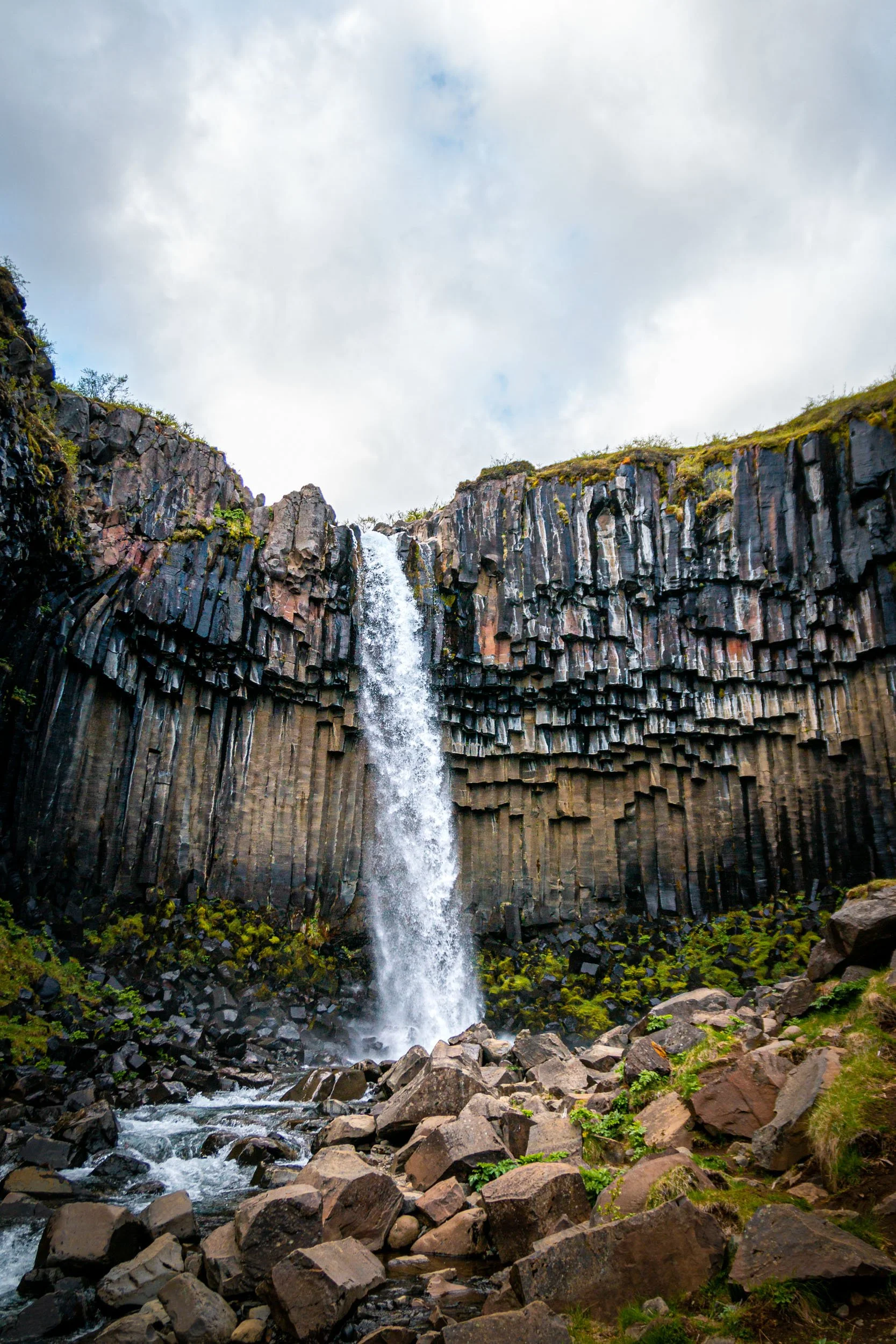
After that, we went to Skaftafell National Park, which is part of Vatnajökull National Park, and hiked to the beautiful waterfall Svartifoss, which is surrounded by basalt column walls.
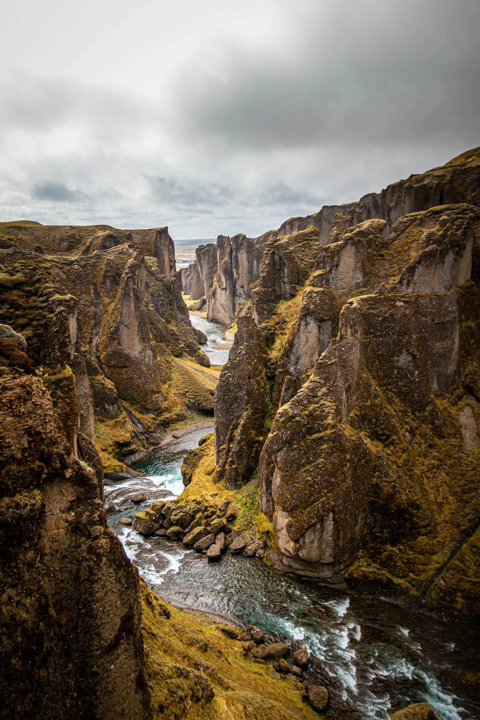
The next day, we started with a visit to Fjaðrárgljúfur canyon, which was less known in my view when we visited in 2015 than it is nowadays. I think, a music video of Justin Bieber might have played a role in that, but it’s also a beautiful canyon and close to the ring road, so that might be a reason, too.
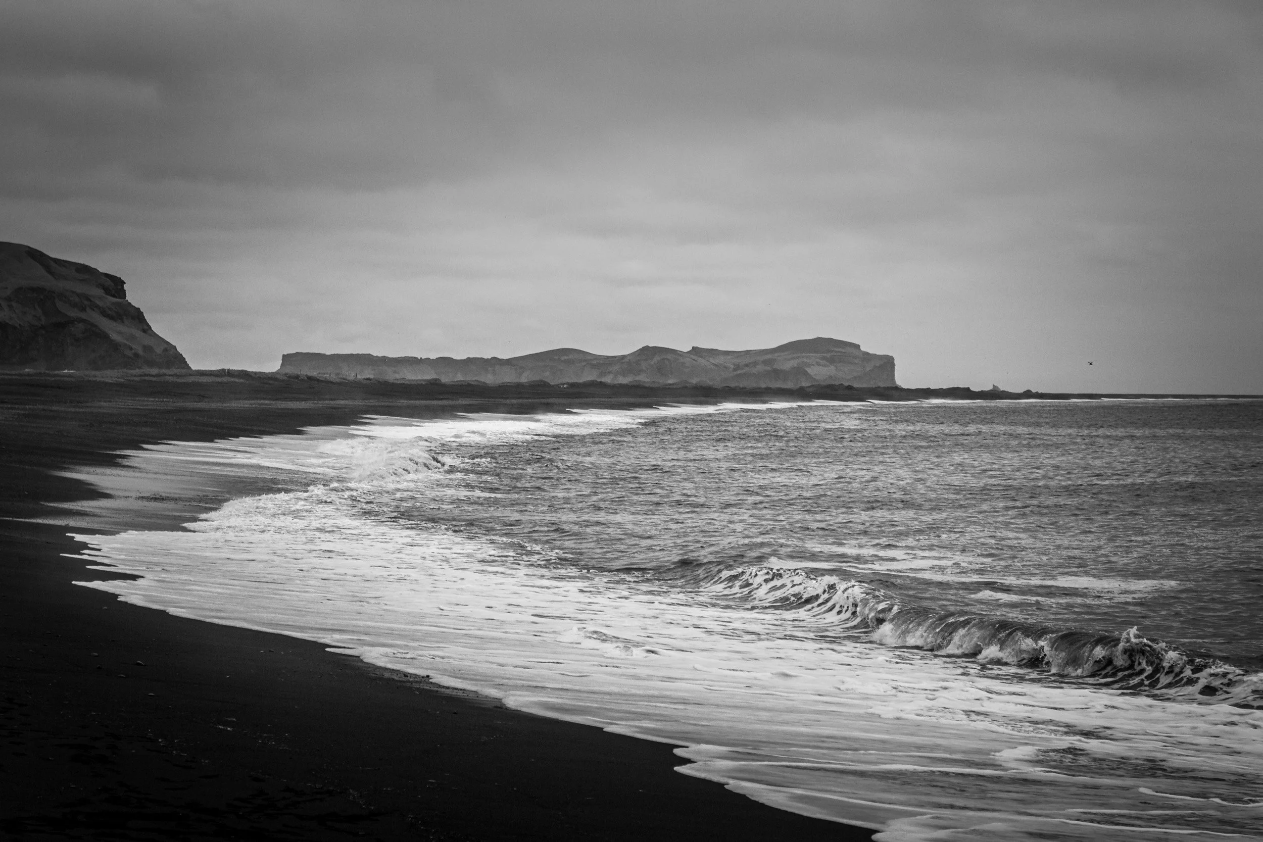
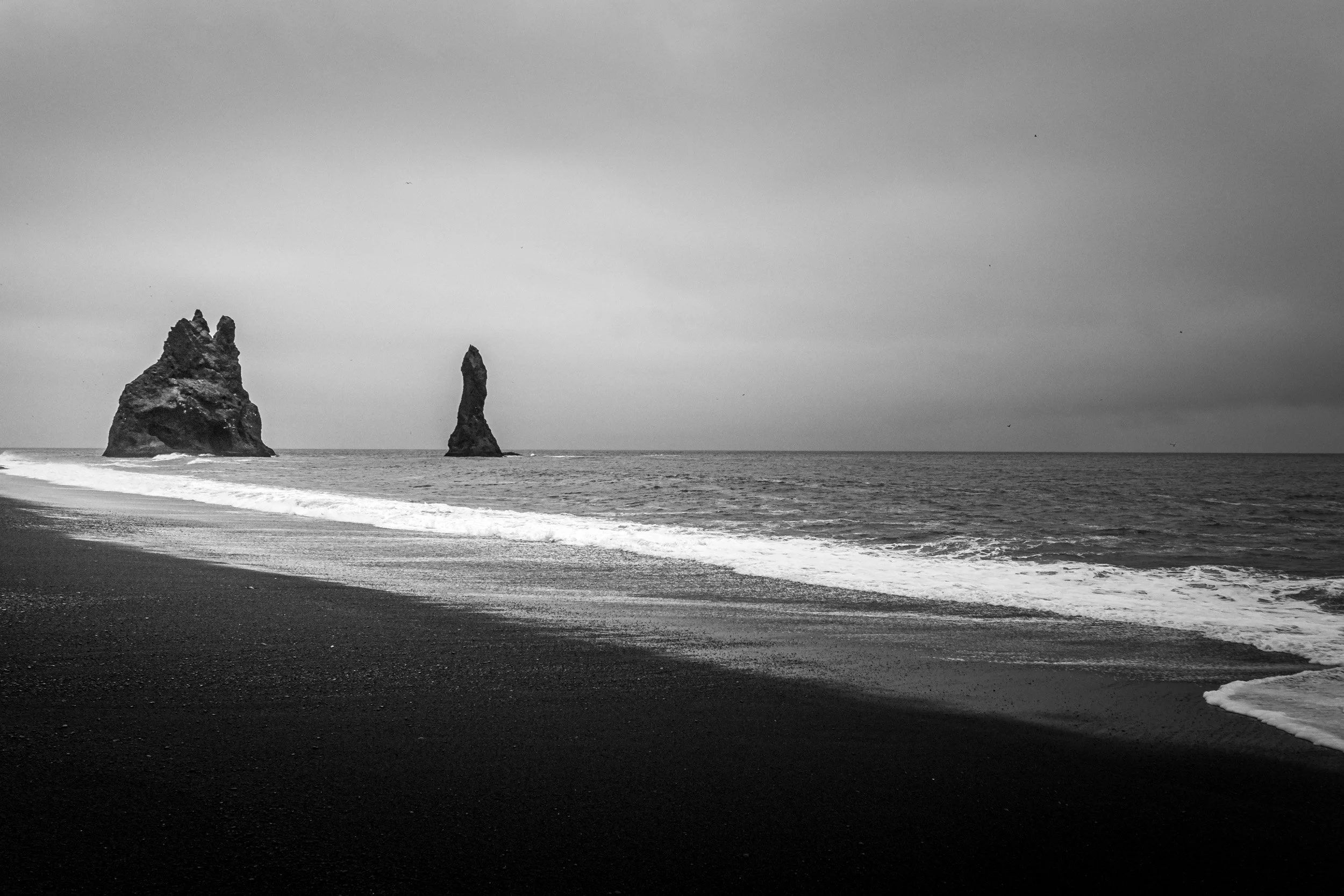
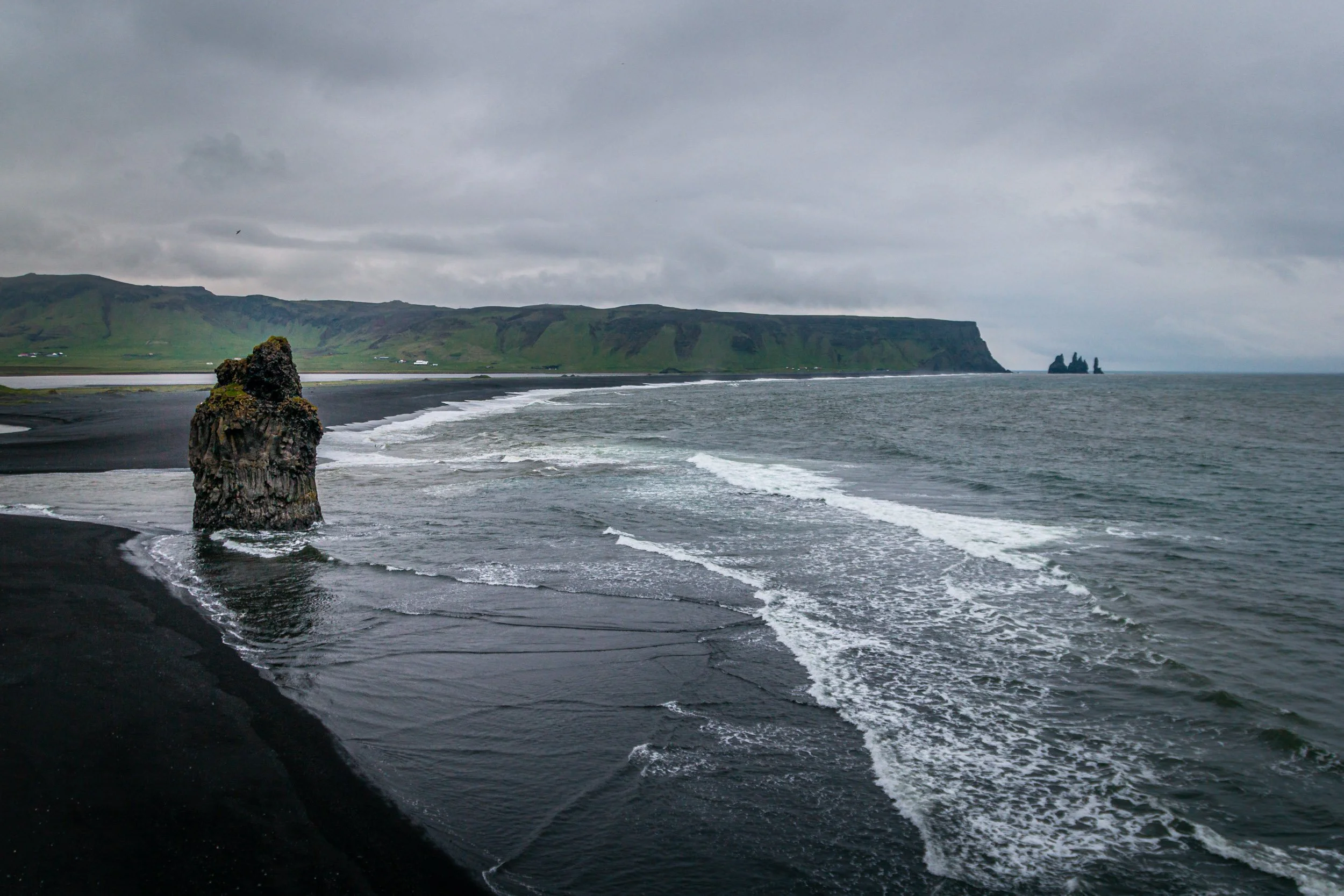
Before going to Vik and famous black sand beaches, we went to another waterfall which name I don’t remember or can find on google maps. Next stop was the black sand beach of Reynisfjara and its stack of basalt columns which looks like a giant church organ. From there, it’s only a few minutes to Dyrholaey, which offers great views of the Reynisfjara black sand beach and a huge stone sea arch. If you hike or drive up to the lighthouse, you’ll get another great view of a black sand beach towards the other direction.
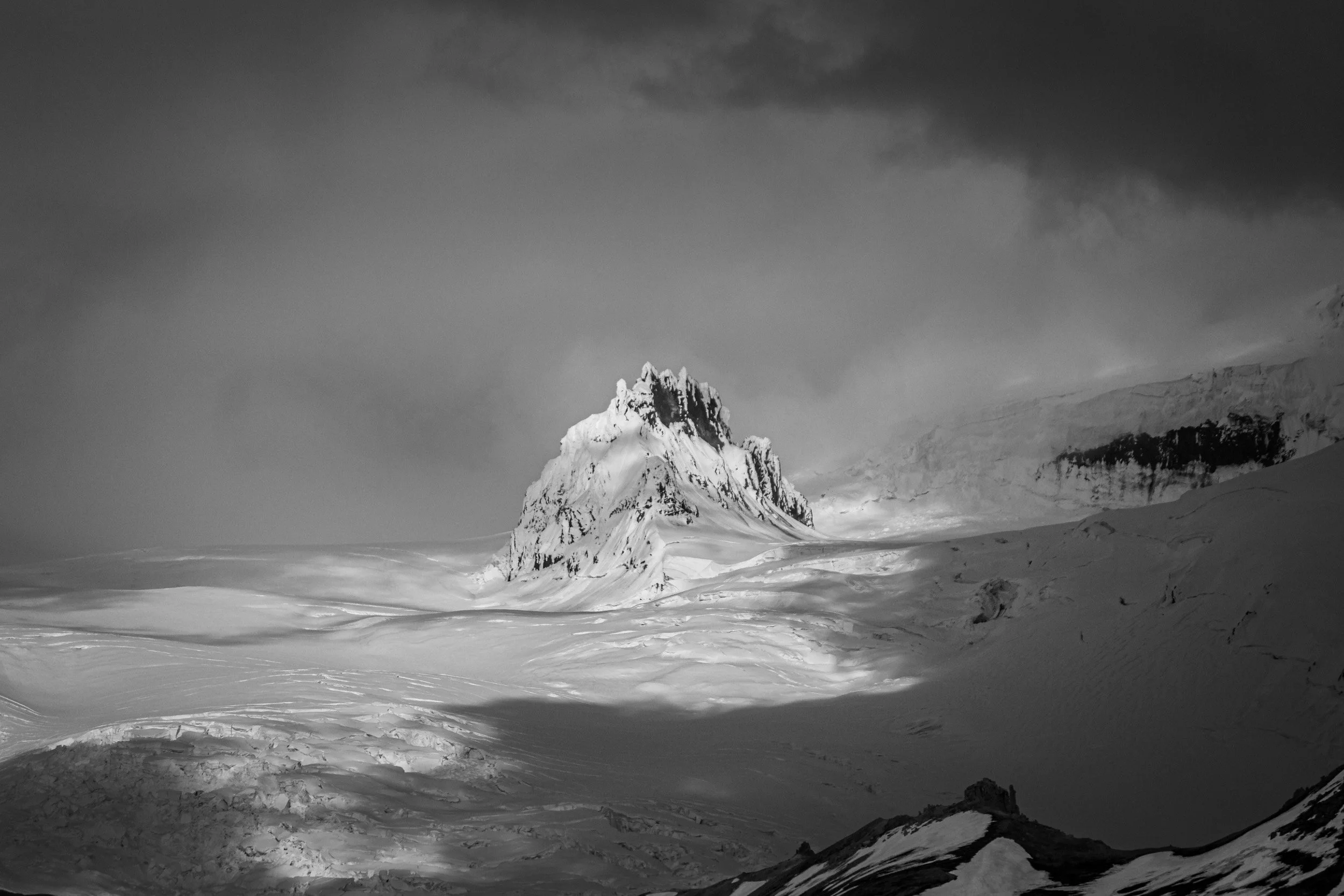
Then we visited Solheimajökull which is one of the easiest glacial tongues to reach. It’s only a 5km dirt road drive from the ring road, and you can take a little walk on top of the glacier yourself. The tongue unfurls from Myrdalsjökull, which is Iceland’s forth-largest ice cap.
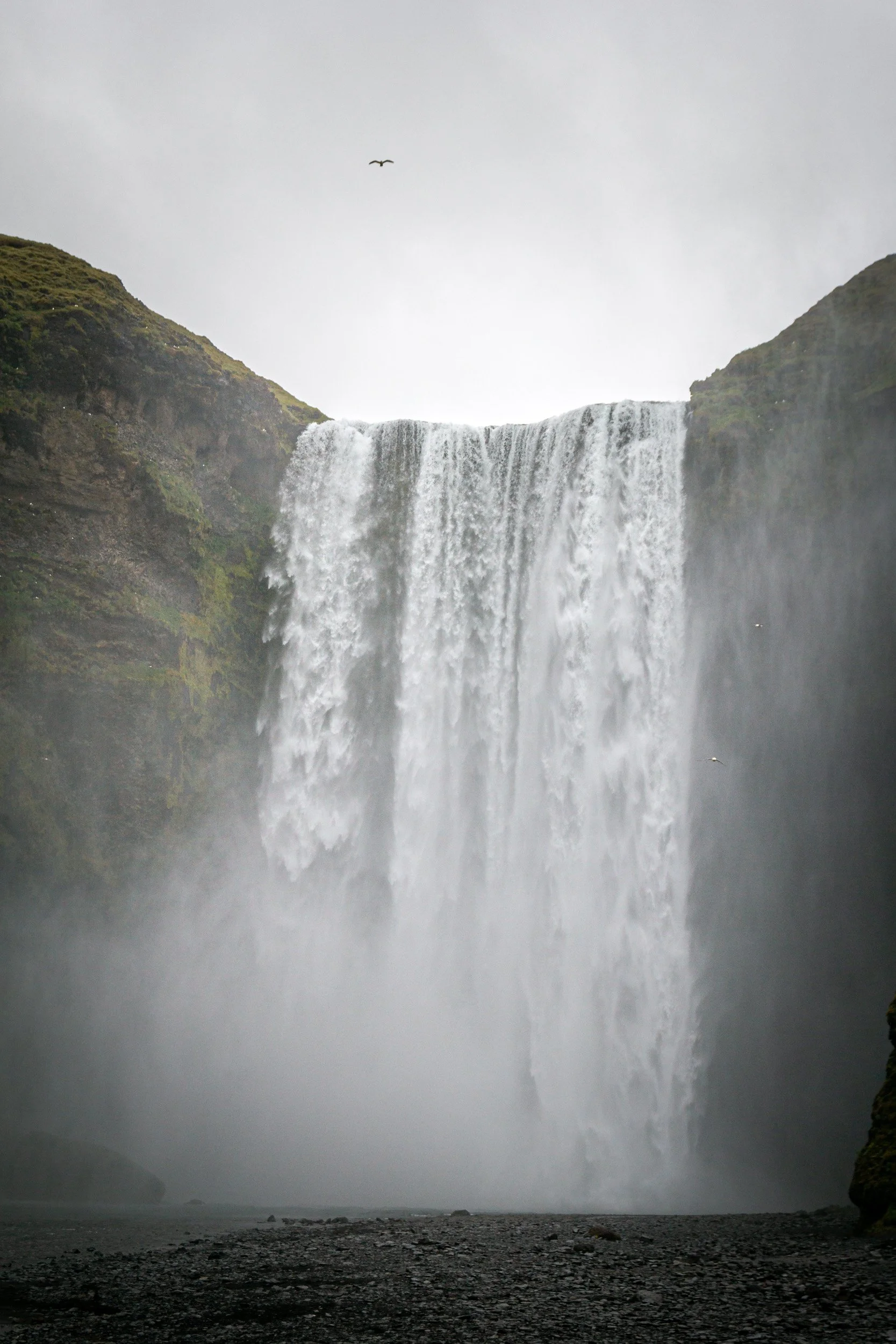
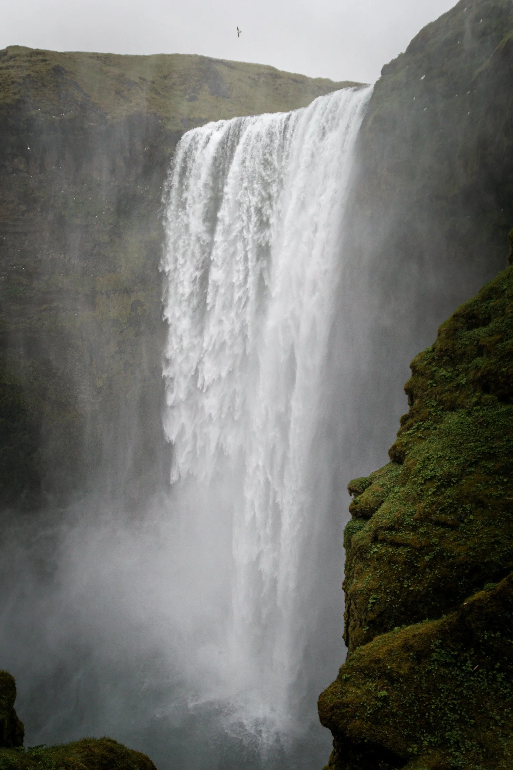
Next stop: another waterfall. But probably one of the most famous ones: Skógafoss. It is 62 meters high and really powerful, and many have probably seen a photo of someone with a yellow jacket standing right in front of it. At least I have dozens of times. There is a staircase right next to it that you can hike up to get top views over the waterfall.
Another waterfall very close to Skógafoss is Seljalandsfoss. It’s actually a bit higher with 66m, but definitely not as powerful. The fun thing about this waterfall is that you can walk behind it, but be aware of crowds and slippery paths. You should also take a rain jacket.
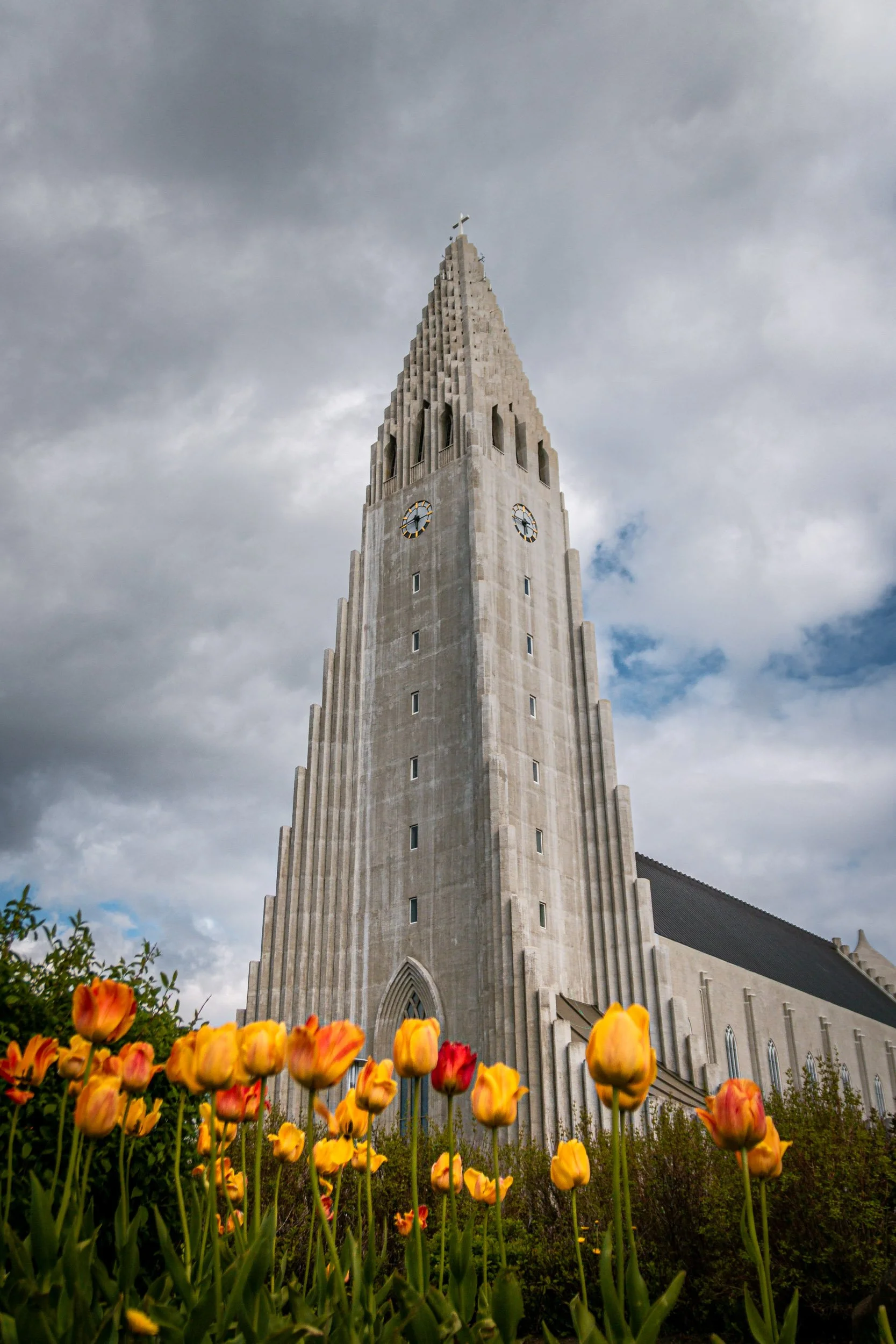
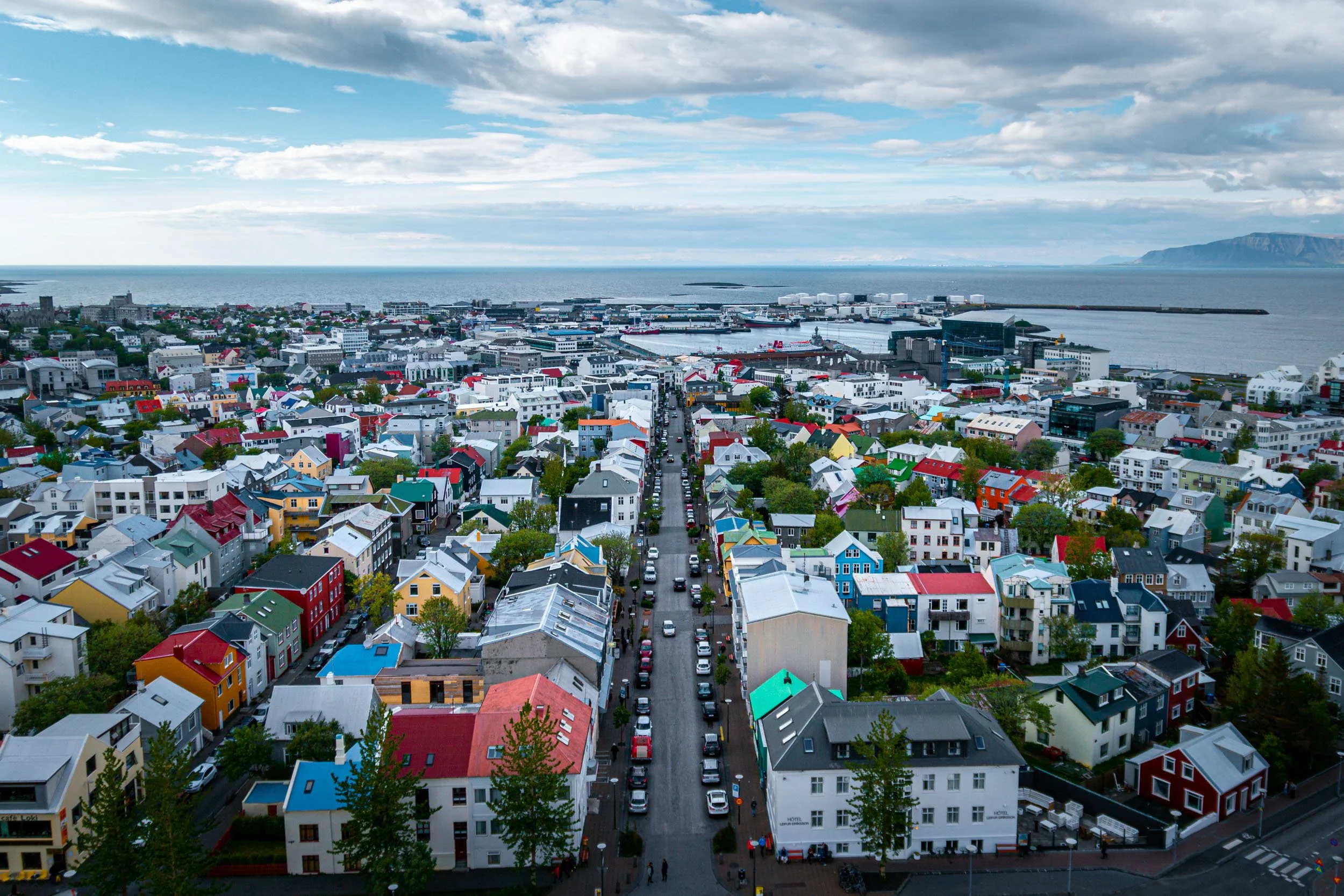
On our last full day we drove into Reykjavík and explored the city a bit, including getting some views over the city from the top of Hallgrímskirkja.
The next morning we tried our luck going to the blue lagoon before going to the airport, knowing that it seemed to be fully booked online. Indeed, it was fully booked, so we only got to the open viewing platform, and then left for the airport instead.

